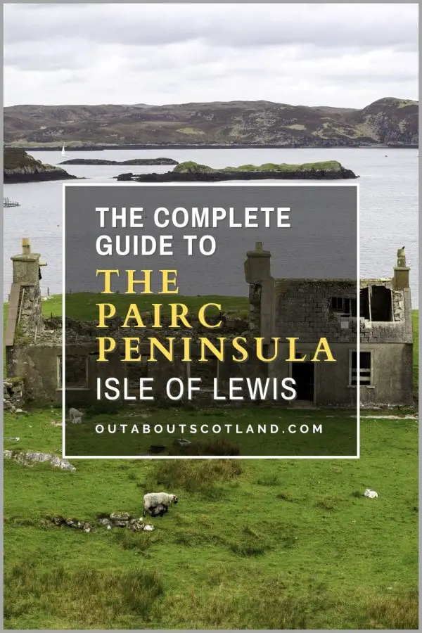
Pairc Peninsula, Lewis
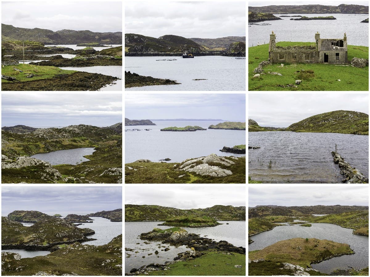
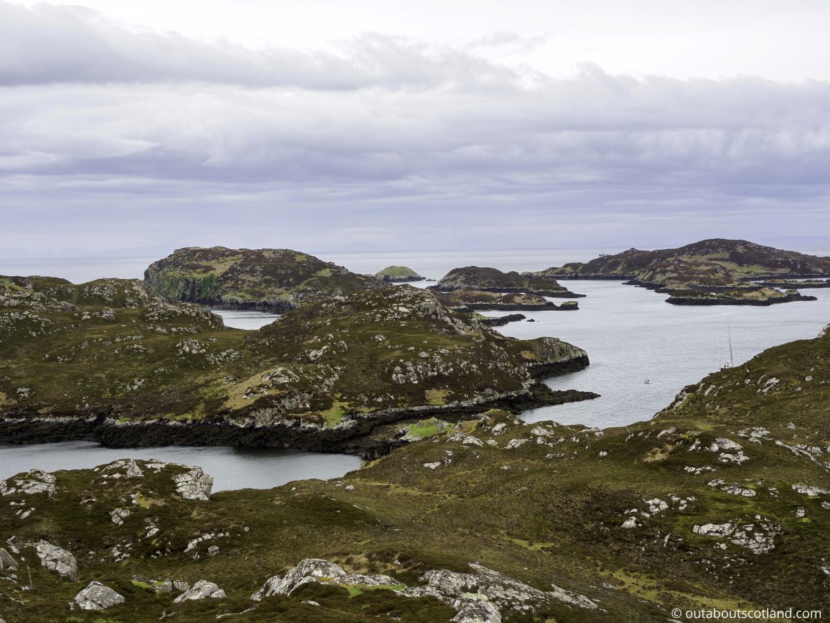
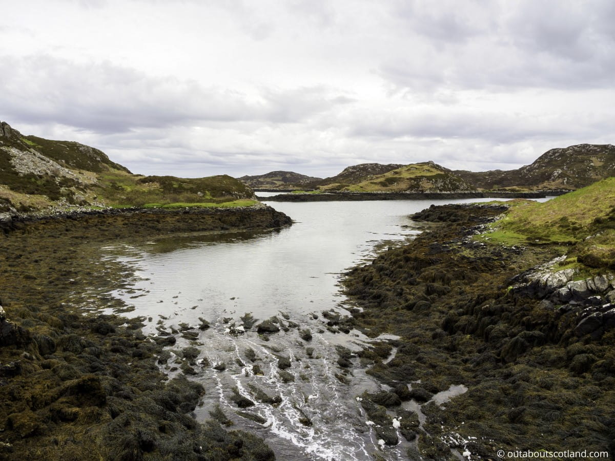
The Pairc Peninsula, also known as the Parish of Lochs, is situated on the southeast corner of the Isle of Lewis, between Loch Erisort and Loch Seaforth. This vast and almost entirely uninhabited area covers over 68,000 acres of rolling hills and rugged coastline, pockmarked by countless freshwater lochs.
Visitors to Pairc will find one of the wildest places in Harris and Lewis which appears hauntingly desolate at first glance but is, in fact, a haven for wildlife such as the enigmatic white-tailed sea eagle.
Pairc Peninsula
The Isle of Lewis is an island of extremes. Towards the north, the landscape is flat moorland, while to the south, it’s mountainous and broken up by countless freshwater lochs. This southern region of Lewis is one of the most popular places on the island for tourists, partly because it’s close to the mountains of Harris and partly because it covers an area that’s extraordinarily scenic, such as the Pairc peninsula on the island’s southeast coast.
The Pairc peninsula (also known as Park and South Lochs) is one of the remotest regions of Lewis and it’s also one of the largest, covering around 11,000 hectares but with a resident population of just 400 people.
Although there are only 11 townships on Pairc they were able to form a trust and purchase the estate in its entirety in 2015, allowing the community to manage over 200 crofts with assured ownership of the land for years to come.
The significance of this event has its roots in the 1800s following the forced eviction of locals during the much-feared Highland Clearances when the islander’s way of life was almost destroyed when the land was forcefully taken from resident crofters by landowners who sought to introduce more profitable sheep farming.
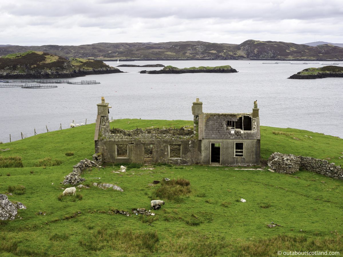
On Pairc, many islanders were evicted which lead to the abandonment of several settlements whose ruins can still be seen today in places like Stiomrabhaigh on the southern coastline. Although the peninsula lost many crofting families to the clearances, it’s thriving today thanks to tourism, and it’s now one of the most sought-after places to book accommodation on Lewis.
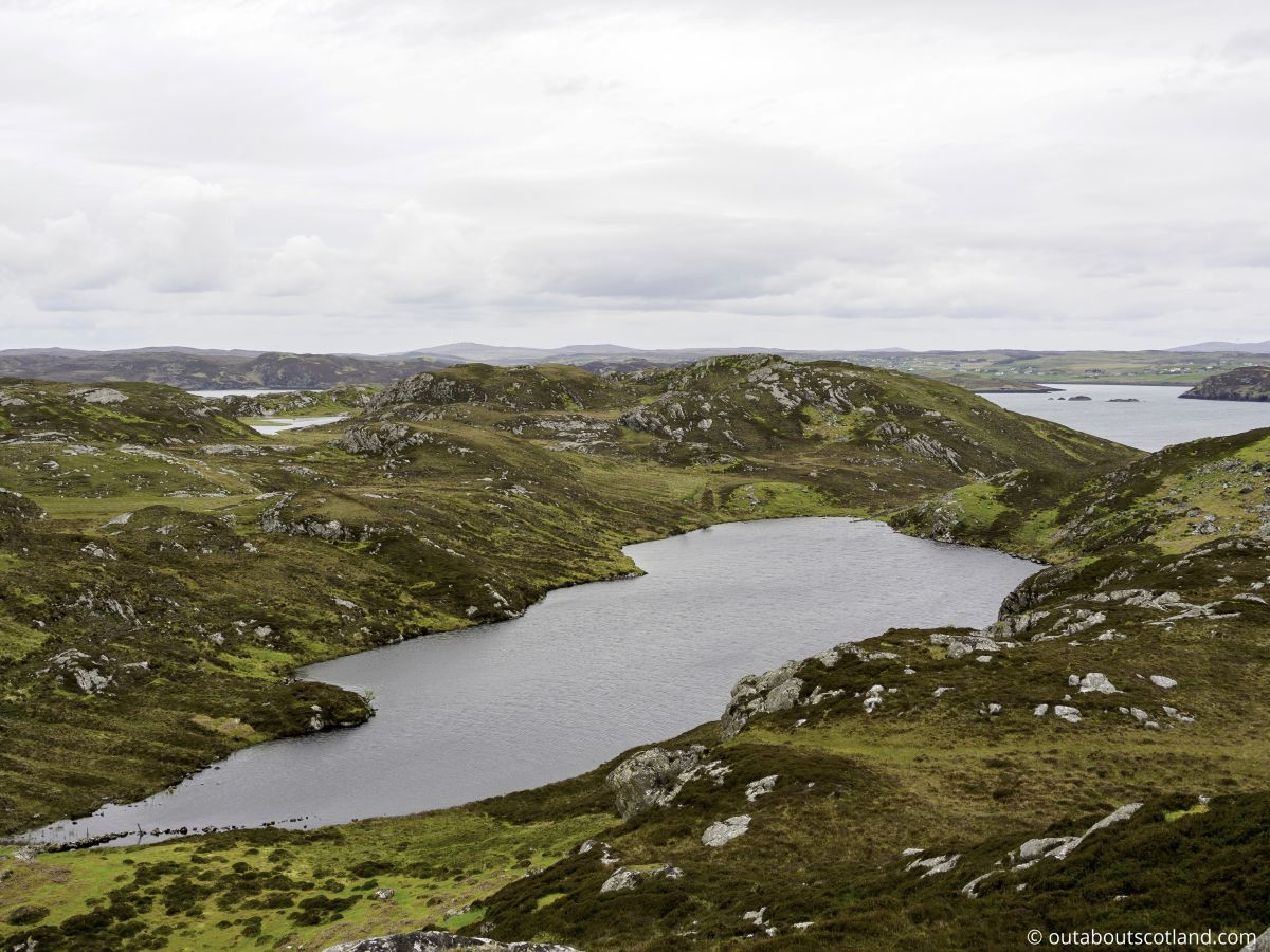
Pairc is well known by ramblers for its unspoilt landscape and many tourists head there to walk across the hilly moorland with its picturesque lochs that stretch across the peninsula from the northern Loch Eireasort to the southern Loch Shiphoirt.
Meanwhile, others head there on two wheels to soak up the scenery on a fairly short (14-mile) road that makes a nice detour from the West Highland Way, or drive to settlements such as Cromore and set off on foot along the many walking trails that have been established around the spectacular coastline.
If you decide to add Pairc to your Isle of Lewis itinerary you’ll find that access is best served by the B8060 which spurs off in an easterly direction from the busy A859.
This partially dual and single-lane road follows a winding route close to the shore for half its length before abruptly turning south to one of the remotest settlements on the island. Visitors who choose to follow the road will soon find themselves enchanted by the hauntingly beautiful scenery of Pairc and will no doubt eventually find themselves drawn to the coastline, which is one of the best places in the Western Isles to see Britain’s largest bird, the white-tailed sea eagle.
With a wingspan of over 2 metres (6 feet), this awesome bird is quite a sight, but there are also golden eagles, otters, and a dozen other bird species to view around the Pairc Peninsula, making it an unparalleled destination for wildlife enthusiasts.
The Highlights
1: The Pairc estate is one of the remotest, wildest, and least inhabited areas in the Western Isles. Visiting the area is a great way to immerse yourself in a landscape that’s almost completely unspoiled by tourism. The coastline on the northern tip of Pairc, near Cromore, is arguably the highlight. It has a stunning landscape of hills and freshwater lochs, as well as a coastline that the white-tailed sea eagle, Britain’s largest bird, frequently visits.
2: The walking trail from Cromore past lochs Nighe, Dubh, and Bodach is a great way to experience the windswept coastline of Pairc. A number of islands lie to the east which are home to countless seabirds and there’s a good chance you’ll see white-tailed eagles during the trek.
3: A special mention has to be given to the cafe in the Ravenspoint Community Centre as the locally-made baked food is delicious and the views from the cafe windows are lovely. There aren’t many cafes in this part of the island so it’s a great destination to head to after a long walk or cycle ride.
Visiting Tips
1: Due to the fact there’s very little traffic on the Pairc peninsula it makes a great cycling route. To get there you’ll have to follow the busy A859 but once on the B8060 the amount of traffic drops considerably.
The road is dual-lane for the majority of the way after which it narrows to a single-lane road that’s well-surfaced and has lots of passing spaces. The options for routes are numerous but I can recommend following the B8060 to Leumrabhagh as the scenery is gorgeous.
2: The Pairc estate is home to herds of red deer which are very skittish and have good eyesight and hearing, making them difficult to catch sight of. Taking a pair of binoculars (link to recommended pairs from Amazon) and regularly scanning the hills from a distance is pretty much the only chance you’ll have to see them.
3: If you walk the route around Loch nam Bodach take the time to watch the running waterfall on the southern corner as it’s a good place to see otters. These shy animals are most active at dawn and dusk when they like to forage for crabs and shellfish on the shoreline.
Tourist Information
For walkers and cyclists, this is (in my opinion) one of the nicest areas of Lewis, though visitors need to be aware that as it’s so lightly populated there are very few facilities. That being said, the Ravenspoint Community Centre at Kershader has a convenience store, a petrol forecourt, and a cafe, and it’s a good place to find out about the local area before starting an adventure into the great outdoors.
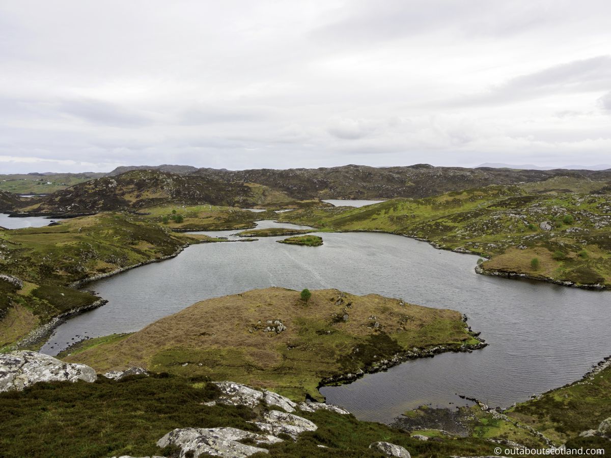
There are several walking trails that have been established on Pairc for the influx of tourists that go there to enjoy the scenery, but having been there several times myself, I personally recommend picking up an OS map (link further down this page) and following the Cromore trail. With its secluded lochs, hilly surroundings, and wildlife-rich coastline, this walking route offers a little bit of everything that makes the peninsula such a fascinating place.
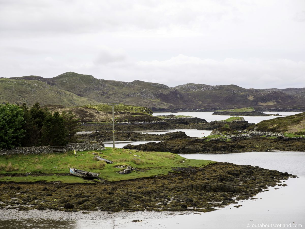
A sizable fleet of fishing boats once used the sheltered bay in Cromore, a charming village. Today, the village mainly serves as a farming community, but it still attracts the occasional hillwalker thanks to the circular walk around the lochs Nighe, Dubh, and Bodach.
Rather than repeat what the excellent Walk Highlands website has already written about the Cuairt Cromor trail, I’ll just include a link to it here that will tell you exactly where to go with a detailed description and a route map.
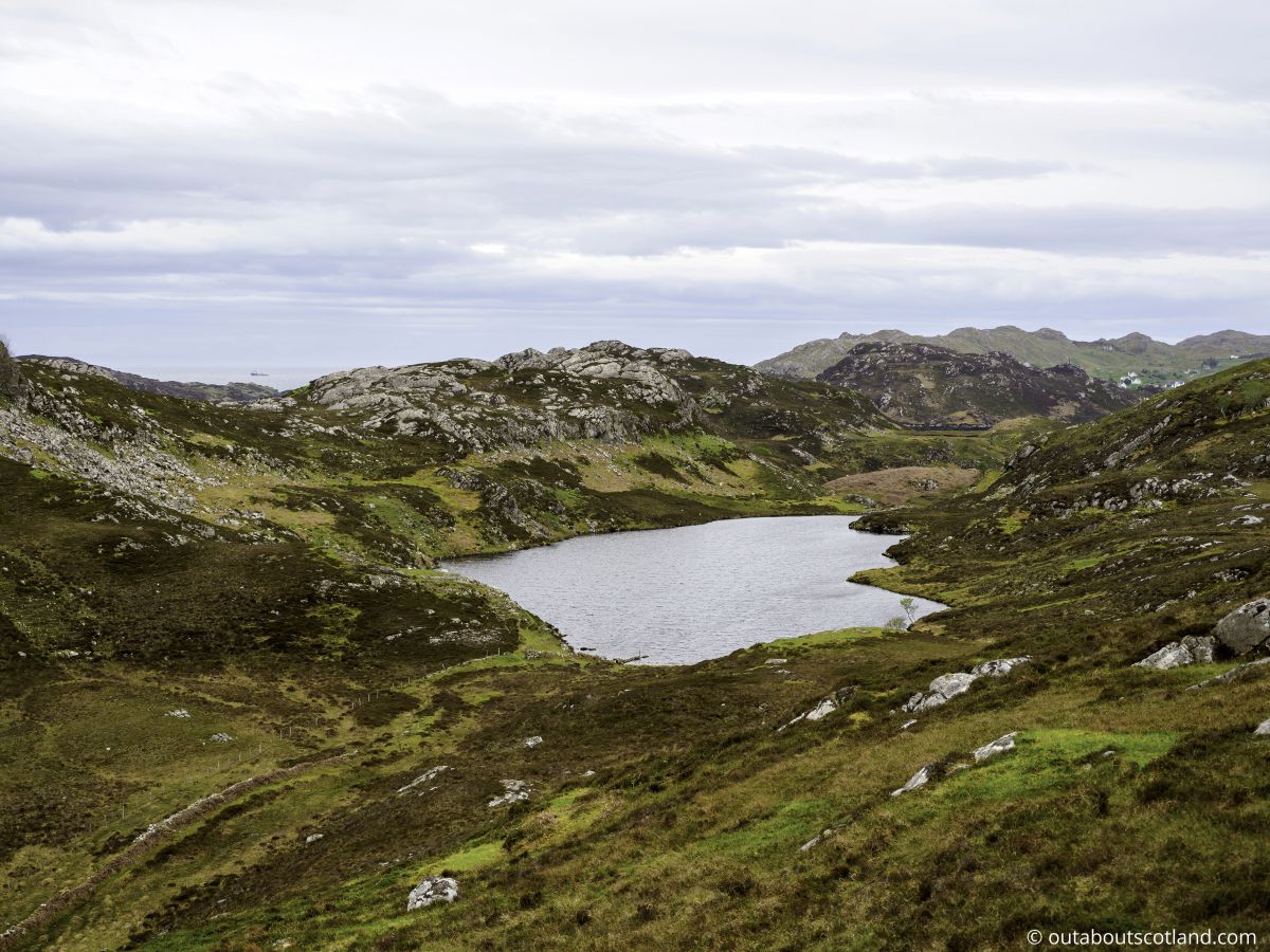
Another recommended destination on the peninsula is Stiomrabhaigh which is (or rather, was) a village overlooking Loch Sealg. The landscape is as wild as anywhere you’re ever likely to find on Lewis and it makes a great destination for a bike ride or an afternoon drive.
To get there, follow the B8060 to Orinsay (postcode HS2 9RG) and head in a westerly direction south of Loch Shaghachain. The terrain is rather boggy, so you’ll need a good pair of waterproof hiking boots (link to recommended pairs from Amazon) and Google Maps (or ideally the OS Maps app) to keep you on course.
If seeing eagles is the main attraction for a visit to Pairc I highly recommend walking along the coastline between the villages of Calbost (HS2 9QR) and Marvig (postcode HS2 9QP). Of the two, I found Calbost to be the more interesting, as you can see the remains of an abandoned crofting settlement, but both villages frequently have golden and white-tailed eagles in the area, and both offer easy access to the rocky coastline.
Things to Do
Visit Eilean Chaluim Chille: Known as St Columba’s Isle, this is a historic church site and graveyard at the mouth of Loch Erisort that is believed to be the site where Columban monks first arrived on Lewis. Access is via a causeway 0.6 miles west of the village of Cromore.
Explore the Sea Cliffs: The Pairc Peninsula features dramatic sea cliffs that are a haven for birds. Sightings of puffins, guillemots, and razorbills are common and the clifftops offer stunning views of the Atlantic Ocean.
Hiking: The peninsula is crisscrossed with hiking trails that offer the opportunity to explore one of the remotest parts of Scotland. Whether you’re an experienced hiker or a casual walker, there’s a trail to suit every ability with panoramic views of the surrounding area.
Fishing: The lochs and rivers in the Pairc Peninsula are ideal for fishing. Whether you’re a seasoned angler or a beginner, you can enjoy the tranquillity of the lochs as well as the thrill of catching fish from the rugged coastline.
Cycle Loch Eireasort: The winding B8060 follows the loch from the junction of the A859 all the way to South Lochs before heading south and finishing at Loch Sealg. It’s a stunning road and is a must-do for any visitor to this part of Lewis.
Things to Do Nearby
Lews Castle. Address: Stornoway, HS2 0XP. Distance: 27 miles from Cromore.
Lews Castle is the biggest tourist attraction in Stornoway as it’s home to the Museum nan Eilean which contains a large collection of objects that depict Lewis and the Hebridean way of life, including the famous Lewis Chessmen. Lews Castle also features a collection of historical photographs, a gift shop, a cafe, and footpaths through extensive grounds.
Stornoway Harbour. Address: South Beach, Stornoway, HS1 2BE. Distance: 28 miles from Cromore.
Stornoway is the main town on the Isle of Lewis and is the largest settlement in the entire Outer Hebrides. The town welcomes many visitors as it’s the main entry point onto the island thanks to the ferry terminal and nearby airport, but tourists also head to Lewis to wander around its busy harbour, which sees a constant flotilla of ferries and fishing boats sailing in and out.
Ravenspoint Community Centre. Address: Kershader, Isle of Lewis, HS2 9QA. Distance: 6 miles from Cromore.
This community centre is located close to Cromore on the Pairc Peninsula on Lewis. The centre is a useful place to stop for visitors who need to stock up on groceries but it also has information about the wildlife that can be seen on the peninsula as well as a cafe serving hot drinks and home-baked treats.
Stiomrabhaigh. Address: Isle of Lewis, HS2 9RG. Distance: 8.5 miles from Cromore.
This historic abandoned village is located on the southern edge of the Pairc peninsula. At one time there were over thirty settlements on the peninsula but following the clearances the population dwindled to around 400. Stiomrabhaigh (or Stemreway) is a good example of what the old villages looked like in the 1800s, as many of the foundations of the ruined houses are still intact.
Bonnie Prince Charlie Monument. Address: Isle of Lewis HS2 9LE. Distance: 14 miles from Cromore.
This monument to Charles Edward Stuart – leader of the 1745 Jacobite rebellion – is situated on a raised position of the A857 between Stornoway and Tarbert. A plaque commemorates the prince who landed on the site 18 days after the doomed battle of Culloden after a short voyage from the Isle of Scalpay.
Frequently Asked Questions
Why are Harris and Lewis separate islands?
The Isle of Harris and Lewis is one landmass, but it’s designated as two separate islands.
This is because the mountain range on North Harris meant that in the past it was difficult to travel between the north and south regions of the island, so residents classified themselves as either being from Lewis (northern half), or Harris (southern half).
Harris is further subdivided into North Harris and South Harris with both regions divided by an isthmus around the village of Tarbert.
What is the Isle of Lewis known for?
The Isle of Lewis is known for being the largest island in the Outer Hebrides as well as having many of the most-visited tourist sites.
Highlights are the Callanish standing stones, the Gearrannan Blackhouse Village, Stornoway and Lews Castle.
The Isle of Lewis is also known for its diverse landscape which is predominantly marsh and moorland towards the north but is mountainous towards the south.
Is a sea eagle bigger than a golden eagle?
Sea eagles are larger than golden eagles.
The sea eagle – also known as the white-tailed eagle – has a wingspan of up to 2.4 meters, is up to 90 cm long, and weighs up to 7 kg.
Golden eagles have a wingspan of up to 2.2 meters, are up to 88 cm long, and weigh up to 6.6 kg.
How common are golden eagles in Scotland?
Golden eagles live in open moorland and mountainous areas in the Highlands and west coast islands of Scotland as well as small areas in the Lowlands. There are currently around 400 pairs of golden eagles in Scotland.
