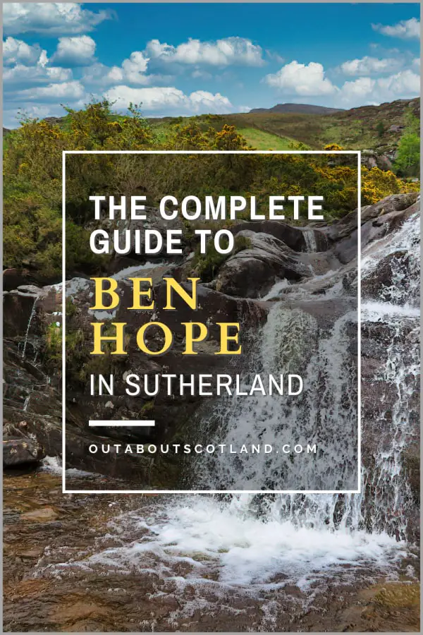
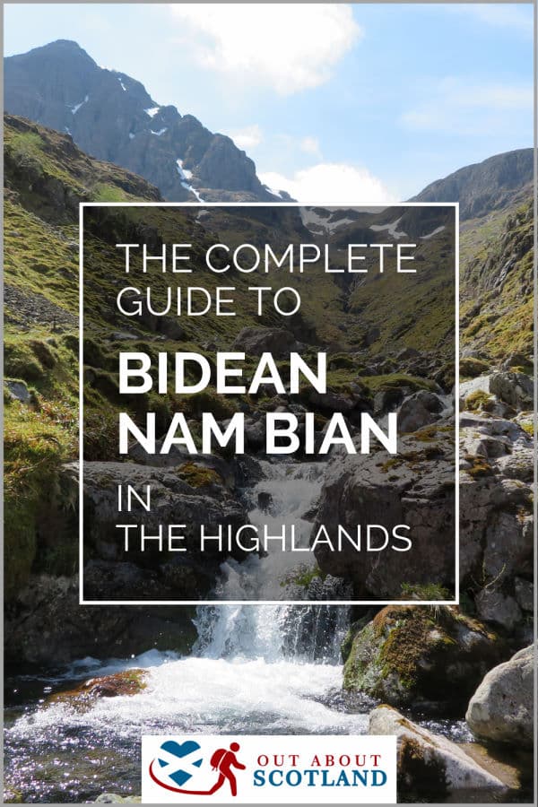
Bidean Nam Bian
Bidean nam Bian, located in Glencoe in the Scottish Highlands, is the highest peak in the former county of Argyll. It’s a complex mountain with many ridges and subsidiary peaks, one of which, Stob Coire Sgreamhach, is classified as a separate Munro.
Bidean nam Bian’s dramatic landscape, with its rugged peaks and sweeping views, makes it a favourite among hillwalkers and climbers alike. If you’re not into climbing, Glencoe itself is a beautiful place to explore with picturesque views and numerous walking trails.
🠇 Head to the bottom of the page for essential details on each attraction featured here, including addresses, opening hours, and entry prices 🠇
Bidean Nam Bian
The summit of Bidean Nam Bian, located in Glencoe, is the highest point in Argyll. Its name translates to ‘Mountain of the Peaks’, fitting for its complex mountain ridge which features a complex series of pinnacles. It’s a popular destination for experienced hikers, offering breathtaking panoramic views of the Scottish Highlands.
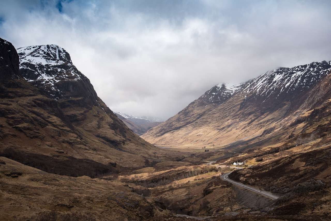
Bidean nam Bian, located to the south of Glencoe in the Scottish Highlands, is well-known amongst hill walkers and Munro-baggers for the fantastic views it offers from the ‘Three Sisters of Glen’Coe’ – the three steep ridges on the north face that extend into the glen.
This enormous series of peaks is part of the highest mountain in the county of Argyll, rising to 1,150 metres at its highest point with several ascending routes of varying difficulty. Although there are a couple of different routes to climb the mountain, by far the most popular is the path from the Glencoe car park.
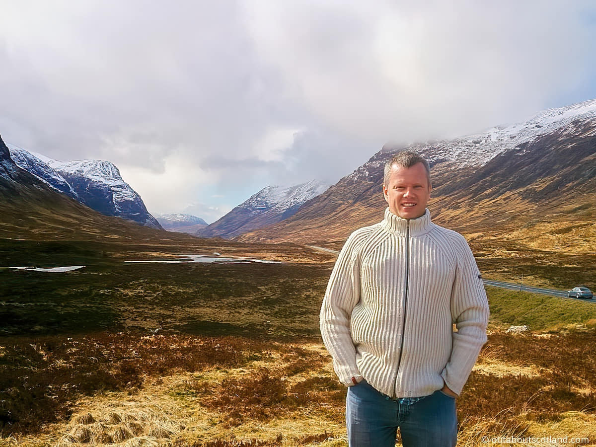
To my mind, this is one of the most beautiful, picture-postcard-perfect areas of the Highlands, and if you’re intent on exploring the mountainous region of Glencoe you should definitely include this mountain in your to-do list.
It’s quite a tough scramble in places, so I suggest you give it a miss if you’re not physically fit and able, and I definitely wouldn’t attempt it if you have young children with you. That being said, it’s well worth the effort if you want to explore this part of the Scottish Highlands and I guarantee you’ll enjoy the view once you get to the top.
The Highlights
1: This is one of the easiest Munros to access thanks to the car park next to Loch Achtriochtan. From the car park, it’s just a 5-minute walk to the start of the Bidean nam Bian ascent.
2: The view from Loch Achtriochtan down the glen is superb. There are lots of options to go walking in almost any direction on waymarked footpaths.
3: The path up Bidean nam Bian is fairly easy for the entire bottom third so it’s a good route if you’re not particularly fit.
Visiting Tips
1: It’s a bit of a scramble in places towards the summit. Don’t attempt the climb if you’re wearing inappropriate footwear. If you’re wondering what to put on your feet, take a look at my recommended walking boots.
2: There aren’t any facilities in the immediate area unless you want to drive up the road to the Glencoe Visitor Centre. The centre has a cafe and a small gift shop as well as a visitor information desk.
3: The car park off the A82 near Loch Achtriochtan is a decent size but it fills quickly once motorhomes start appearing. Get there early to guarantee a space.
Tourist Information
Two of the peaks of the three sisters, Beinn Fhada and Gearr Aonach, are separated by a partly concealed glen known as the Lost Valley, which at one time was used by Clan Macdonald to hide their livestock from thieves but is today mainly used by hikers making their way up the Bidean ridge.
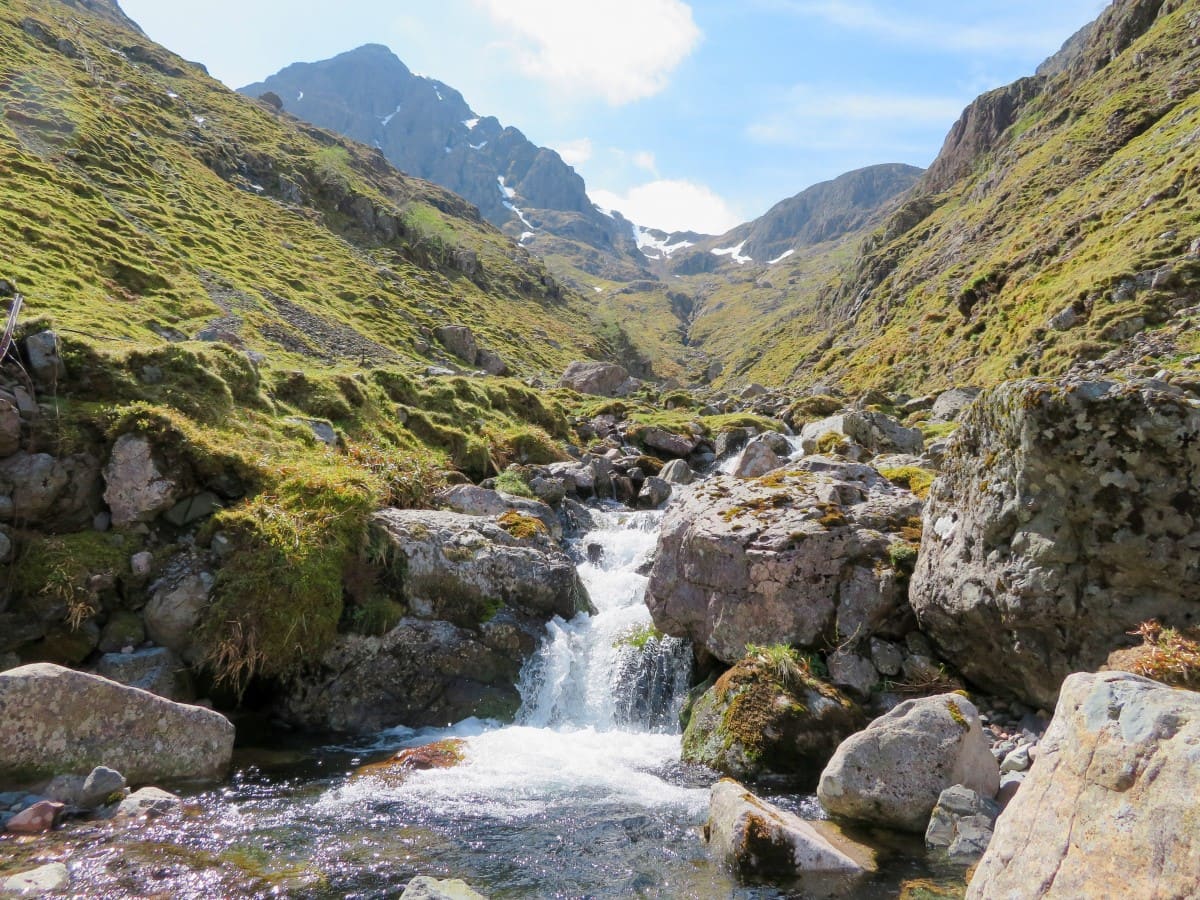
The most popular route into the mountains heads out over a 2.5-mile path, starting at the Glencoe car park near Loch Achtriochtan and finishing at the peak of Stob Coire nan Lochan. This route is quite busy at times, so during the summer it’s probably best to avoid it at weekends, especially as the car park gets clogged up with coachloads of tourists visiting the nearby loch.
The path is easy-going at the start but it becomes a fairly tricky scramble across several rocky sections in the middle, although the views from two-thirds of the way up the mountain make up for the hard work needed during the ascent.
Directions
Start at the Glen Coe car park near Loch Achtriochtan and follow the path to the old track at the bottom of the glen, then head to the footbridge that crosses the River Coe and head towards Coire nan Lochan. The path offers a nice walk through heather-lined fields, and it’s easy to follow as it’s quite well-worn and simply follows the stream that runs off the mountain.
Be aware that part of this path crosses large boulders that require quite a climb, so if you get halfway up and find hopping over the first boulder is too difficult, I suggest you turn around, as it doesn’t get any easier from there on.
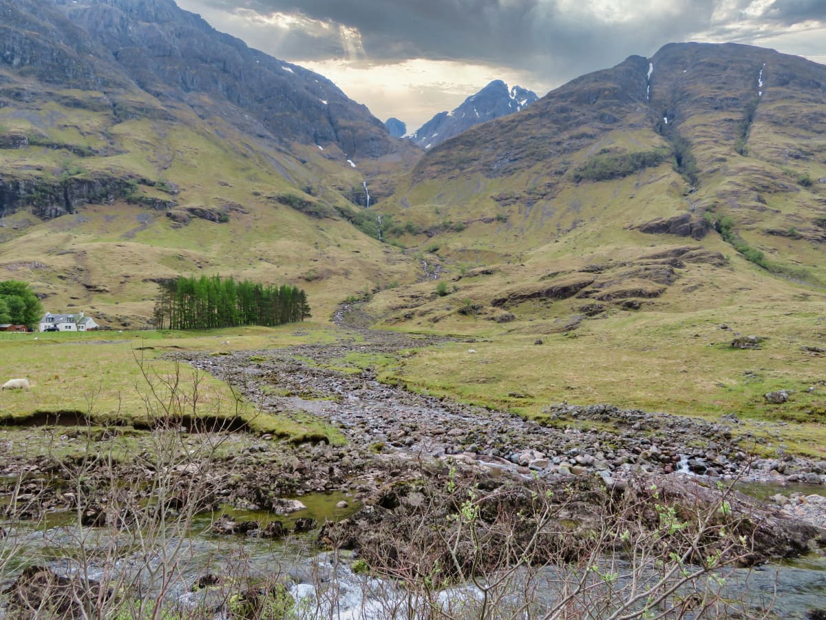
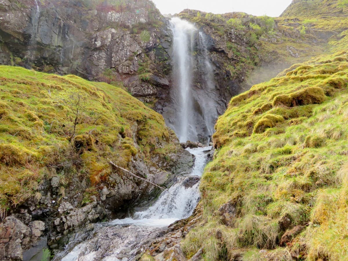
Partway along the route you’ll come across a waterfall thundering down the mountainside which is a good spot to cool down, but be careful if you try to get down to the pool as it’s very slippery.
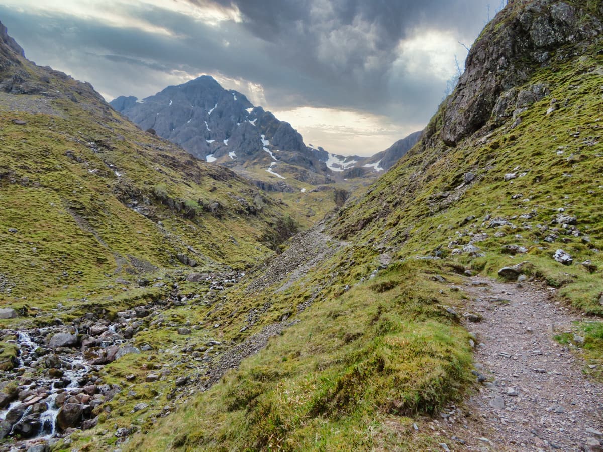
The path continues up in the direction of Stob Coire nan Lochan where you’ll find another waterfall in a small box canyon before exiting out onto the summit of the north ridge. From there, you’ll get amazing views in all directions, and you can either head back down to the car park or push on further into the mountain range towards the 1,150-metre summit of Bidean Nam Bian.
The terrain is steep and rocky but shouldn’t be too difficult for anyone with average fitness levels, although you’ll find sections of loose scree towards the top that make for quite a difficult scramble.
Things to Do
Mountain Hiking: Bidean Nam Bian – one of the ‘three sisters of Glencoe’ – is renowned for its spectacular mountain trails. Whether you’re an experienced hiker or a novice, you’ll have a wonderful time on this mountain range.
Rock Climbing: For the more adventurous, Bidean Nam Bian’s sheer rock faces provide a good challenge for rock climbers. Scaling these cliffs is not for the faint-hearted, but the sense of achievement paired with the breathtaking views from the top is unbeatable.
Wildlife Watching: The surrounding landscape of Bidean Nam Bian is a haven for wildlife enthusiasts. From majestic stags to a multitude of birds, there’s always something new to spot. If you’re heading to Glencoe you really should pack a pair of binoculars in your bag. If you don’t have a pair yet, click here to see binocular reviews.
Photography: The dramatic landscapes of Bidean Nam Bian offer fantastic opportunities for photography. From the towering peaks of the three sisters to the tranquil beauty of the glen, there’s a stunning shot waiting at every turn.
Picnicking by Loch Achtriochtan: After a day on the mountain there’s nothing better than relaxing by the serene loch at the bottom of Bidean Nam Bian. Unpack a picnic and soak up the beautiful scenery either from the car park or a spot on the grass surrounding the water’s edge.
Things to Do Nearby
From Loch Achtriochtan car park:
Glencoe Visitor Centre. Ballachulish PH49 4HX. 4-minute drive.
Visitor centre that offers information about Glencoe including its geology and history. Frequently used by tourists as a departure point for walks into the glen. The centre offers viewing platforms, a cinema, a shop and a café.
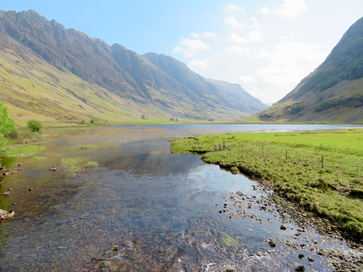
Loch Achtriochtan. A82, Ballachulish PH49 4HX. 1-minute walk.
A small loch at the foot of Bidean nam Bian that is often visited by tour buses due to the relatively large car park. The loch is very photogenic as it is located centrally within the glen. The car park is the main departure point for walks up Bidean nam Bian.
Coe River Waterfall. Ballachulish PH49 4LA. 6-minute walk.
A small waterfall on the River Coe that is easily walked from Loch Achtriochtan. It is possible to walk along the edges of the River Coe on a footpath that passes under the A82 near the car park.
Glencoe Valley Viewpoint. A82, Ballachulish PH49 4HY. 7-minute drive.
This is a scenic viewpoint in Glencoe on the edge of the A82. There is parking for a few cars although it fills quickly in summer due to the popular walking trail that runs down to the River Coupall.
Glencoe Folk Museum. Glencoe, Ballachulish PH49 4HS. 5-minute drive.
A museum that serves to celebrate the rich local heritage of Glencoe. The museum is housed in a traditional 18th-century heather-thatched cottage.
Frequently Asked Questions
How difficult is Bidean nam Bian?
Bidean Nam Bian is considered one of the more challenging hikes in the region. It’s a very steep and rugged mountain range that reaches an elevation of 1,150 meters.
The difficulty of the hike can depend on several factors:
Fitness Level: The hike is physically demanding, taking around 7-9 hours to complete.
Weather Conditions: The weather can change rapidly in the Highlands, and snow, rain, wind, and fog can make the hike significantly more difficult and potentially dangerous.
Navigation Skills: There are several different routes to the top, some of which can be quite complex and challenging to navigate, especially in poor weather.
Experience: Bidean Nam Bian is not recommended for novice hikers due to its difficulty and the potential for sudden weather changes. Previous experience hiking in similar conditions is highly recommended.
How long does it take to climb Bidean nam Bian?
Bidean nam Bian has an elevation of 3,770 feet (1,150 metres) and a walking route that is 6.75 miles (11 km). Expect the return walk to take approximately 7-9 hours, depending on levels of fitness and weather conditions.
What are the names of the Three Sisters of Glencoe?
The Three Sisters are Aonach Dubh, Beinn Fhada, and Gearr Aonach.
How tall is Bidean nam Bian?
Bidean nam Bian has an elevation of 3,770 feet (1,150 metres).