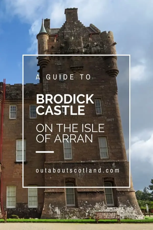
Goatfell, also known as Goat Fell or Gaoda Bheinn in Scottish Gaelic, is the highest peak on the Isle of Arran, which is situated off the west coast of Scotland. Rising to 874 metres (2,866 feet) above sea level, Goatfell is a favourite among hillwalkers and climbers due to its rugged beauty and the spectacular views it offers.
Overview
The Isle of Arran is one of the top destinations for holidaymakers keen to explore Scotland’s west coast islands. Although it’s not quite as scenic as Skye and doesn’t have the whisky heritage of Islay, it does have several benefits that make it worth visiting.
First off, it’s easy to get to thanks to its location in the Firth of Clyde. You’ll hear lots of Glaswegian accents while exploring Arran, as the Calmac ferry terminal at Ardrossan takes less than an hour to drive from Glasgow via the A737. That means that unlike the outlying west coast islands, Aran can be visited for a day trip as well as for a longer holiday.
There are also a huge number of places to visit on the island if you’re a keen cyclist or walker, with the latter being spoilt for choice thanks to the unique landscape which has thick forests to explore in the south and majestic mountain peaks to scramble up in the north.
These mountains (actually Corbetts – mountains between 2,500 and 3,000 feet) lie on the edge of the Highland boundary fault line that cuts its way through Scotland from the southwest to the northeast of the country. Though generally considered a moderately easy range to climb, the peaks of Cir Mhor, Beinn Tarsuinn, and Caisteal Abhail offer hardened climbers a tough ascent up steep granite boulders.
The fourth Corbett, Goatfell, is also the highest at 874 metres, but the route to the top is by far the easiest thanks to a wide, well-marked path that runs from the edge of Brodick Castle all the way to the summit, just over 3 miles to the north-west. From the castle boundary, you’ll walk through forest and moorland on your way to the top of the mountain on a path that’s spectacularly scenic at every step of the way.
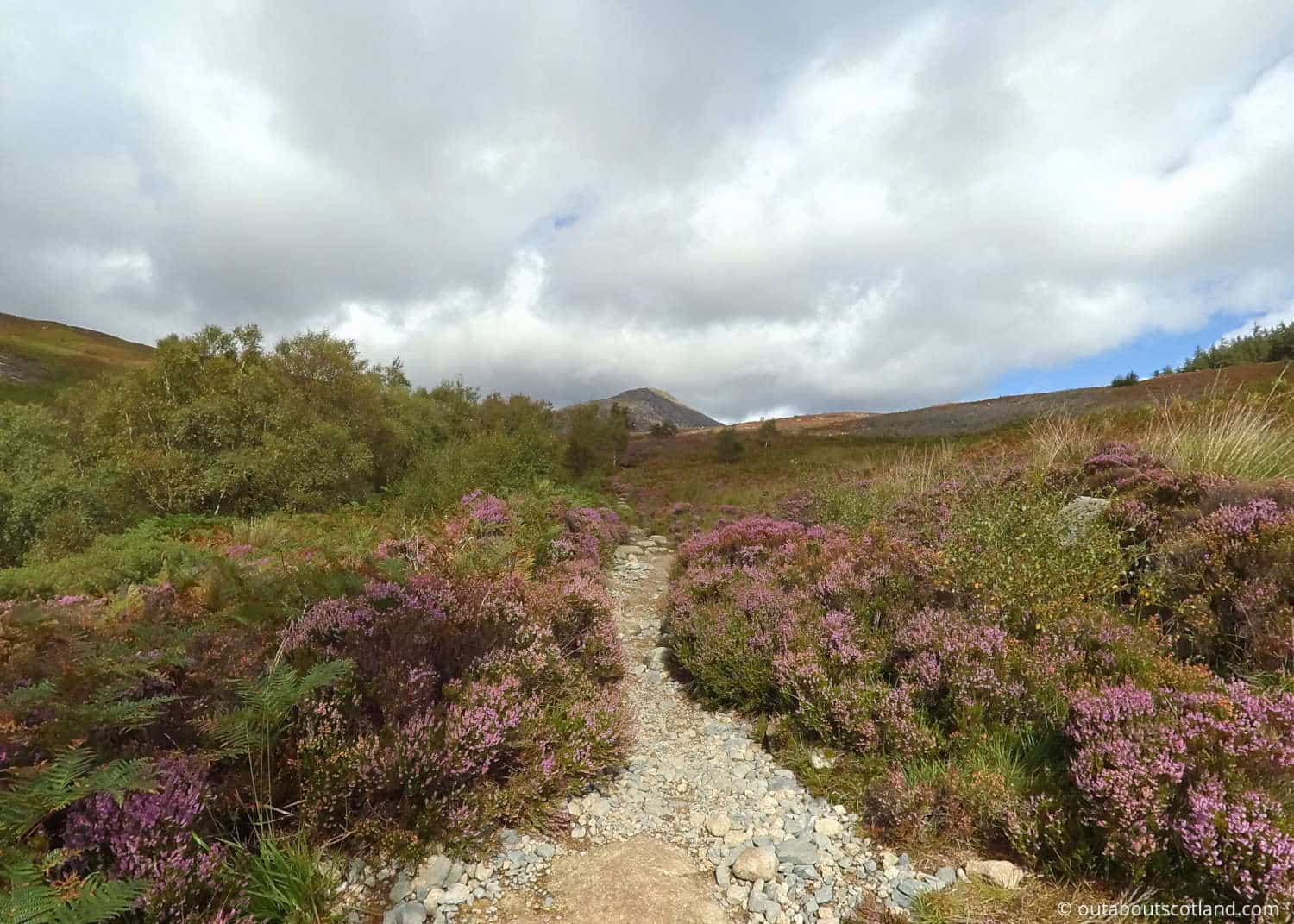
Keep an eye open for buzzards and golden eagles soaring overhead as you follow the path, and take a deep breath of the sweet-smelling heather that covers the lower regions once you leave the forest. It really is a beautiful route that perfectly sums up Arran’s nickname of ‘Scotland in miniature’, as the trail presents much of the iconic scenery for which this country is famous, with dramatic glens, windswept mountains, and stunning coastlines as far as the eye can see.
Book Tours in Scotland
The Highlights
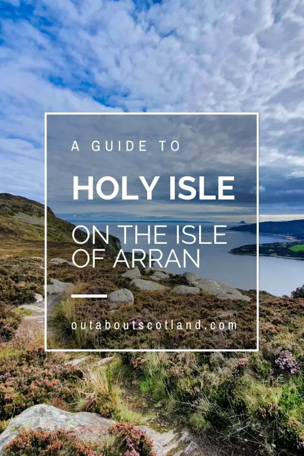
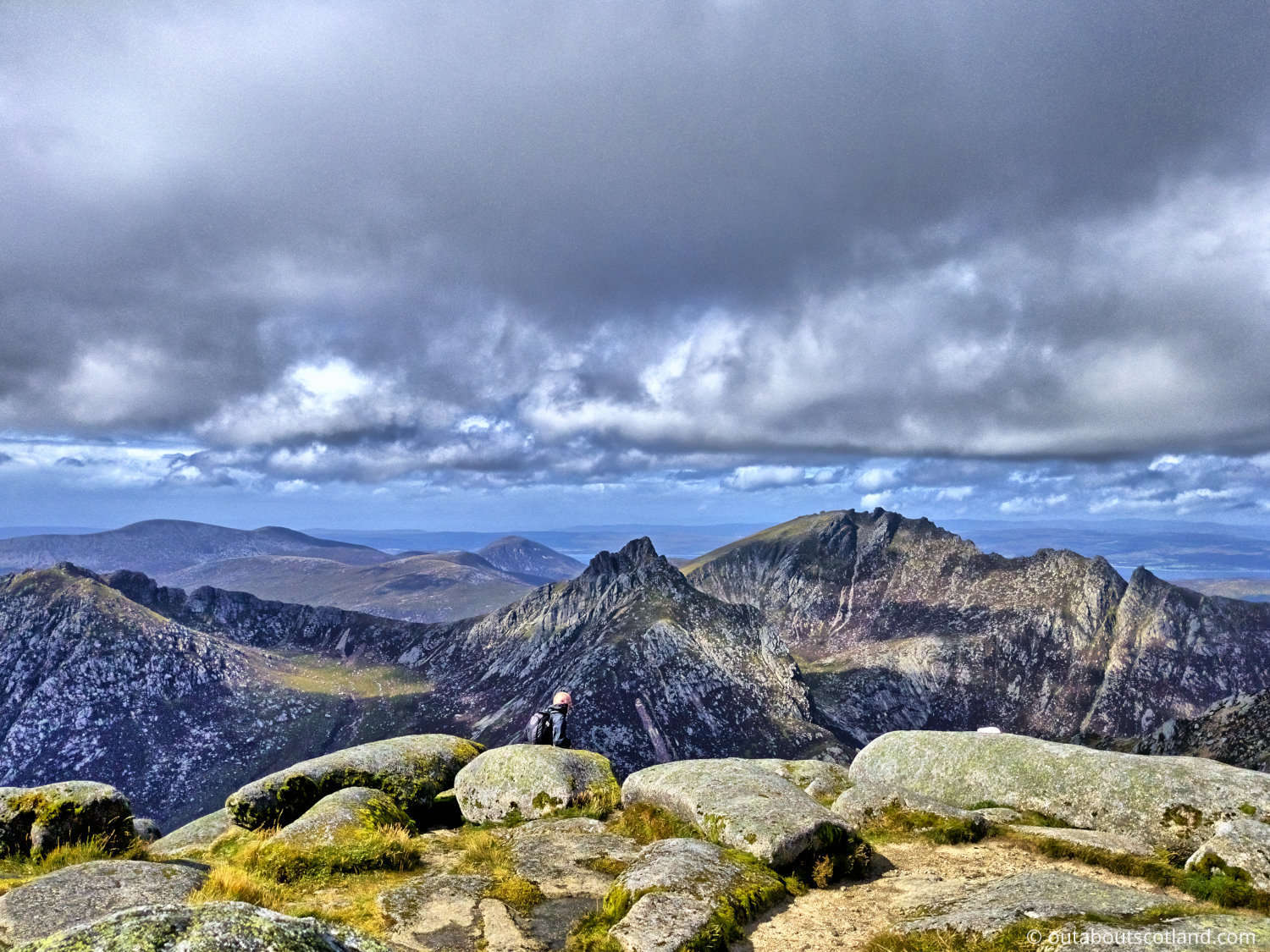
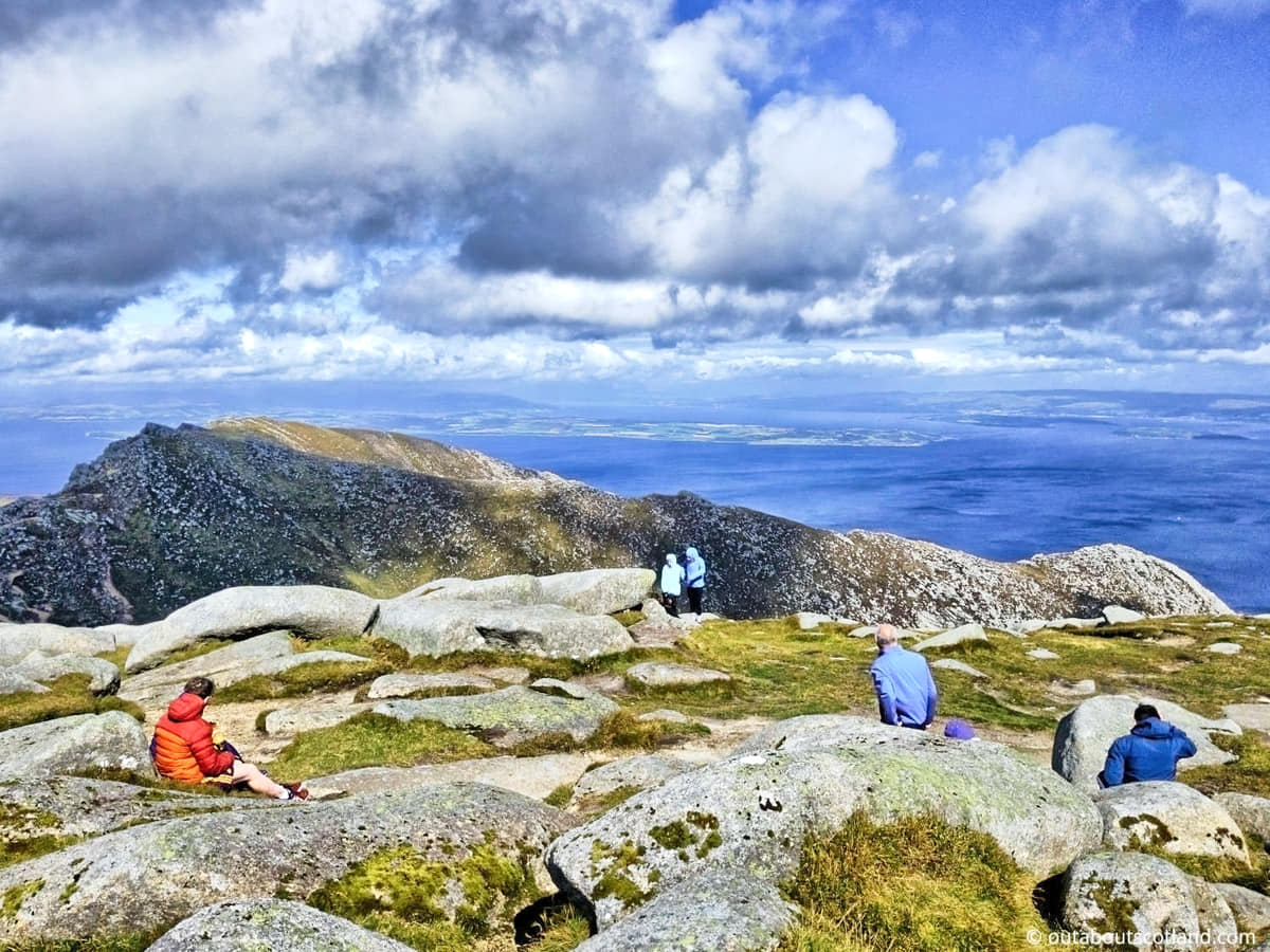
1: On a clear day, the summit of Goatfell offers breathtaking views across the Firth of Clyde to the Scottish mainland and other islands such as Jura and the Cumbraes. To the south, you can see the Holy Isle and to the north, the peaks of the Arran ridge.
2: This is an easy mountain to climb, and in fact, it’s one of the easiest you’re likely to find in Scotland. The path is well-trodden, so it should be very easy to follow unless it has been covered with snow. Be aware that there are rocks to clamber over near the top, and they get very slippery after a rainfall.
3: After you’ve visited the mountain grab a drink in the Wineport pub back in the car park. You’ll also find a gin distillery across the road if you fancy something stronger and there’s a beer brewery behind the pub if you want to take home an alcoholic memento of Arran.
Visiting Tips
1: As always with mountain hikes in Scotland, prepare for all seasons, even if you’re visiting in the summer. As an example, when I set off in August I was sweating in shorts and a T-shirt, but by the time I got to the summit there was a freezing cold wind that I had trouble standing up in. Pack thermals and raingear, whatever the weather is like at ground level.
2: The Isle of Arran is accessible by ferry from Ardrossan on the mainland to Brodick, which is the nearest town to Goatfell. The mountain is a short drive or bus ride from the ferry terminal. There are no facilities on the mountain itself, but Brodick offers a range of accommodation, shops, and eateries.
3: If you don’t like the idea of getting lost, make sure you take an Ordnance Survey map with you. Buy OS Landranger maps direct from Ordnance Survey. If you’d rather not pay for a map, I recommend using the GPS route from Walk Highlands.
Protect Your Family From Scotland's Biting Midges
- Powerful, reliable protection for up to 8 hours
- Water- and sweat resistant
- Repels midges, mosquitoes, horse flies, sand flies, fleas and ticks
- Safe for use on adults, children over 30 months and pregnant women
- Non-sticky, moisturising with a pleasant fragrance
- Packaging may vary
Tourist Information
Before I go any further, I have to tell you how busy this walk is. Admittedly, I visited in August, but you wouldn’t believe how many hikers were there, and it was basically a non-stop procession of people from start to finish. If you’re looking for a quiet walk to enjoy the great outdoors in peace and quiet, I suggest you look elsewhere.
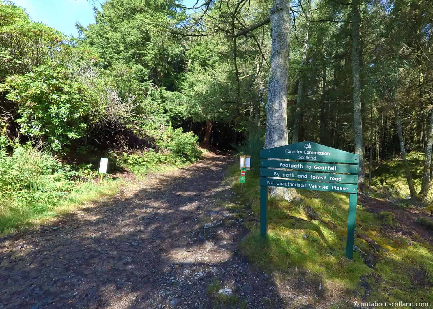
That being said, the views on Goatfell are drop-dead gorgeous and it’s an easy mountain to climb with multiple approaches. The most popular route – and the one I took – starts at the Wineport pub car park at Cladach and continues through well-maintained paths courtesy of the Forestry Commission. The path only narrows once you leave the cover of trees, but even then, it’s very accessible apart from a few rocks scattered here and there.
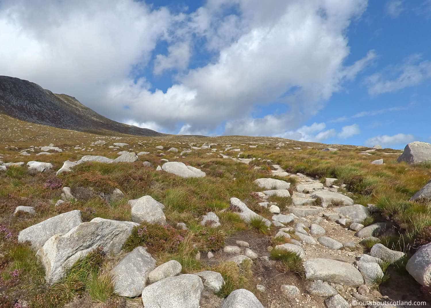
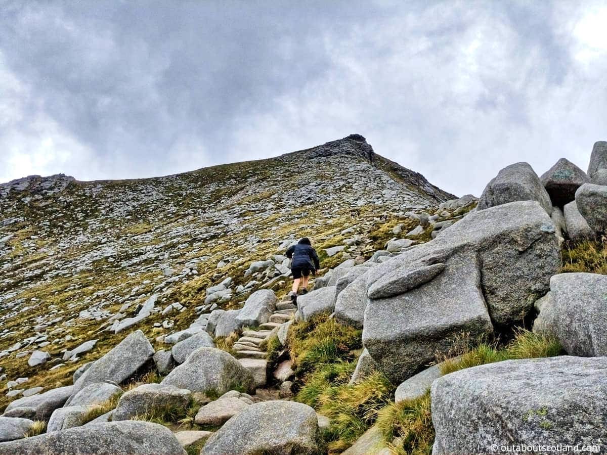
As the path curves towards the eastern shoulder of Goatfell, the terrain becomes wide-open and relatively flat, with a shallow incline. The only downside is that the final stretch to the summit requires a fairly steep climb up granite boulders, but it’s still not that difficult as most of the boulders form a natural staircase.
This ease of access means most people should be able to complete the three to four-hour climb without needing to use walking poles or having to stop for rest breaks. That being said, you absolutely must wear hiking boots, as the ankle support they provide can prevent serious injury.
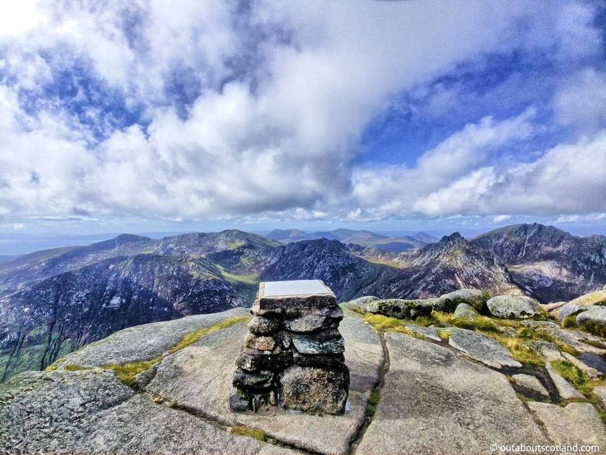
Once you get to the top of Goatfell you’ll find a large, fairly flat area with a trig point in the middle and a few large boulders to shelter behind. The views are absolutely fantastic and, in my opinion, are equal to those at the Quiraing on Skye thanks to the mainland and the Firth of Clyde clearly visible to the east and the lovely Campbeltown peninsula to the west.
Make sure you have your camera with you to preserve the moment, and take your binoculars (link to binocular reviews) because you’ll be able to see the east coast of Ireland on a clear day. And speaking of clear days, remember the weather can change at the drop of a hat, so make sure you’re prepared for this hike.
Wear good-quality walking boots, pack a waterproof and a thermal top, and take a waterproof backpack (Amazon link) with energy snacks and lots of water. Also, make sure your mobile phone has plenty of battery power just in case you need to call the Arran mountain rescue team for help (thankfully, they have a station opposite the Cladach car park).
Walking Directions
1: Begin the Goatfell route at the Cladach Centre, which lies about half a mile south of the entrance to Brodick Castle. There’s a large pub at the centre with a decent-sized car park in front of it that you can use. There’s also a bus stop on the road opposite if you’re using public transport. To the right of the pub is a road that leads to a signposted path pointing in the direction of Goatfell.
2: The track curves up and around a woodland before opening up to a field with views across Glen Rosa. Continue following the track and cross over the road a half-mile past the field. Continue in the same direction on this waymarked path.
3: The path continues towards Goatfell which is now visible in the distance. You’ll first walk through thick mixed woodland and then climb a shallow ascent through heather-covered moorland. This section of the track has a few rocky sections that have to be climbed up.
4: The heather thins and the landscape becomes much more sparse once you’re away from the woodland. About a mile further is a small bridge that crosses the Cnocan Burn with a smaller path that joins a separate track from Brodick Castle. Follow the track that points towards the summit of Goatfell (you can’t miss Goatfell; it’s the largest peak on the skyline).
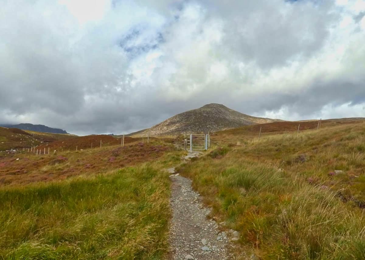
5: Pass through the gated deer fence (making sure you close it behind you) and follow the well-worn path in the direction of the eastern shoulder of Goatfell. The track is a shallow incline for another mile or so but it starts to rise steeply once you get to the foot of the summit.
6: The final ascent is the steepest part of the walk, but it’s still relatively easy for a Scottish mountain. During my visit, I passed a couple of families with young children as well as a few pensioners. If they can do it, so can you!
7: There aren’t any blind summits so simply follow the worn track to the top. Once at the summit you’ll be rewarded with gorgeous views of Arran and the Firth of Clyde.
8: You could continue north to explore the rest of Arran’s mountains but the opposite side is very steep with lots of loose shingle. My advice is to return to the pub for a well-deserved drink by following the exact same trail you went up on. The entire walk should take three to four hours at a steady pace for anyone with average fitness levels.
Book Tours in Scotland
Things to Do
Hiking: Ascend the highest peak of the Isle of Arran at Goatfell. The 874-meter climb is challenging but rewarding, offering panoramic views of the Scottish mainland and the surrounding islands. The diverse flora and fauna along the way make the journey even more interesting.
Photography: Capture the breathtaking landscapes around Goatfell. From the heather-covered moorland to the majestic peak covered in mist, every angle presents a unique photo opportunity. If you can, try to get there early morning or late evening as the sunsets and sunrises on Arran are truly magical.
Bird Watching: Home to a variety of bird species like golden eagles and buzzards, Goatfell is a paradise for bird watchers. The picturesque surroundings make it an ideal spot for watching these birds in their natural habitat.
Picnicking: Pack a picnic and enjoy a meal on one of the most scenic mountains in Scotland. The flat summit provides the perfect spot to relax and enjoy the tranquillity of the mountain while munching on your favourite snacks. Just remember to leave no trace of your visit behind.
Stargazing: On clear nights, the skies over Goatfell Mountain offer an unspoiled view of the cosmos. With minimal light pollution, it’s the perfect place for stargazing. Ideally, take a telescope and observe the constellations, and maybe even witness the Northern Lights while you’re there.
Things to Do Nearby
Brodick Castle and Gardens. 2 hours, 30-minute walk. 19th-century castle in a Scottish baronial style that is surrounded by extensive formal gardens. The castle and grounds are open for self-guided tours.
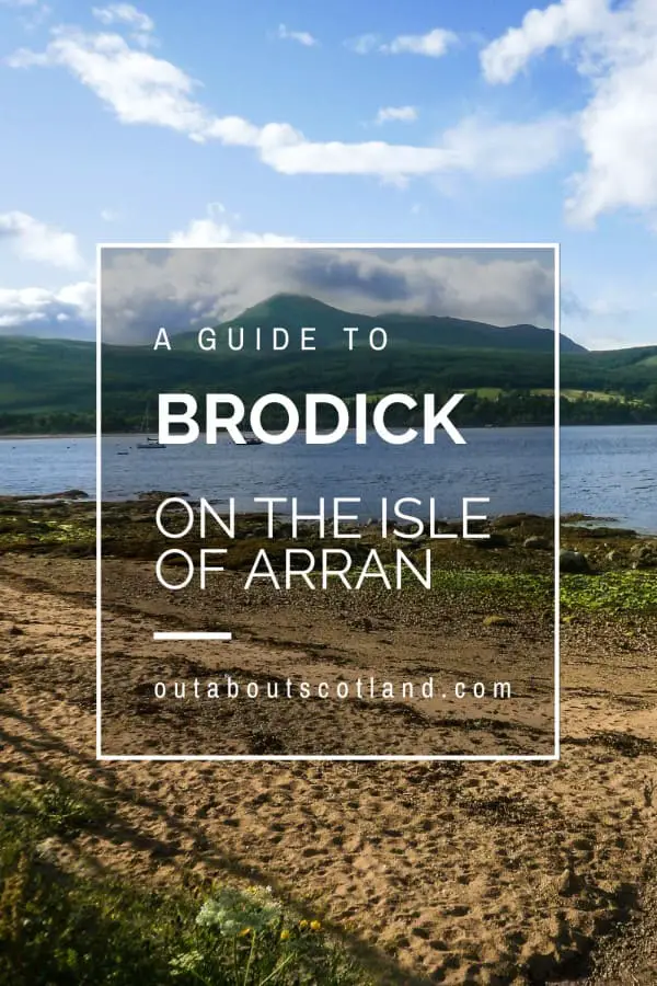
Brodick Forest. 2-hour walk. An expansive forest is set between Brodick Castle and Goatfell Mountain. There are a number of maintained footpaths in the forest that cyclists and walkers can use.
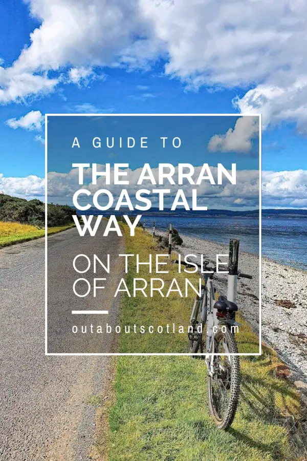
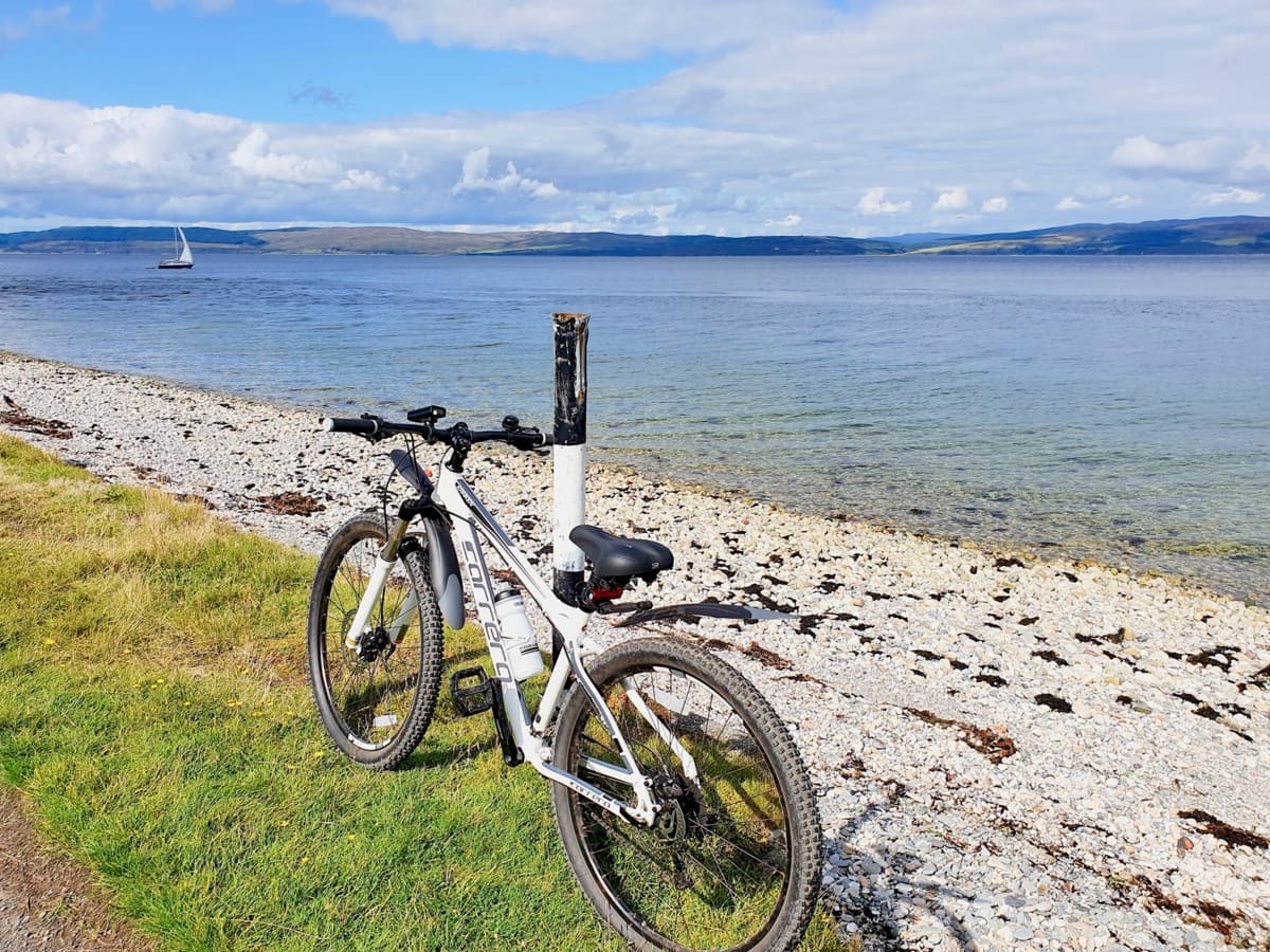
Arran Coastal Way. 2 hours 30-minute walk. Walking and cycling trail that circles the entire coastline of Arran. The main starting point begins on Brodick beachfront and continues past Brodick Castle to Lochranza on the north of the island.
Arran Heritage Museum. 2-hour 30-minute walk and a 10-minute drive. Museum with exhibits that explain the history of Arran, its agriculture and its geology. Features a vintage farm, gift shop and a café.
Sannox. Arran, KA27 8JD. 2 hours 30-minute walk. Popular parish village that lies on the eastern side of Arran. Highly regarded for Sannox Bay which is a pebbled stretch of coastline that has crystal-clear water looking over the Firth of Clyde.
Protect Your Family From Scotland's Biting Midges
- Powerful, reliable protection for up to 8 hours
- Water- and sweat resistant
- Repels midges, mosquitoes, horse flies, sand flies, fleas and ticks
- Safe for use on adults, children over 30 months and pregnant women
- Non-sticky, moisturising with a pleasant fragrance
- Packaging may vary
Frequently Asked Questions
How long does it take to climb Goatfell on Arran?
Goatfell has an elevation of 874 metres and the route from Brodick Castle is approximately 3 miles in length. The return route takes between 4-6 hours to walk.
The Goat fell circular walk takes in Glen Rosa as well as the mountain and takes around 6.5 hours to complete.
Is Goatfell easy to climb?
Goatfell is an easy walk and beginners can climb it without a problem as long as they are moderately fit. The 3-mile ascent from Brodick Castle starts on a long, shallow incline which becomes a scramble up steep rocks towards the end.
Is Goatfell a Munro?
Goatfell is 2,687 feet at its summit, which means it is a Corbett and not a Munro. Corbett’s lie between 2,500 and under 3,000 feet. Anything over 3,000 feet is a Munro.
Where do I start Goatfell?
The most popular location to start a hike up Goatfell is the Cladach Centre (Cladach, Brodick, KA27 8DE) near Brodick Castle which has a pub/restaurant and a large car park. The path to the summit is waymarked and heads through a forest before opening up towards the mountain.
What do you need to climb Goatfell?
To climb Goatfell you need proper hiking gear such as sturdy hiking boots, warm and waterproof clothing, a backpack to carry essentials such as water, food, and a map, and safety equipment such as a compass, a first aid kit, and a whistle.
Additionally, it is recommended to have good physical fitness and experience with hiking and navigating mountainous terrain. It’s also good to check the weather forecast before heading out.


