Arran Coastal Way & A841 Tourist Route
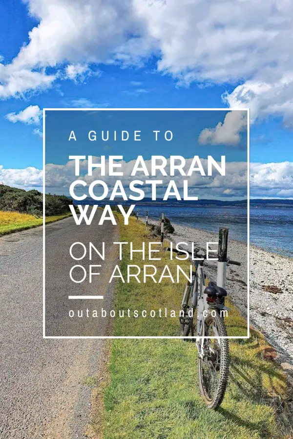
The Arran Coastal Way is a circular, long-distance route around the Isle of Arran on Scotland’s west coast. Though challenging, this 65-mile (105 km) trail rewards visitors with stunning views from start to finish, and there are plenty of opportunities to visit nearby attractions as you make your way around the island.
Those attempting the Arran Coastal Way are free to join the route wherever they choose, but the most popular starting point is the A841 near the ferry terminal at Brodick. The route is broken into 8 separate sections, each of which is between 5 and 10 miles in length and comprises terrain that varies from beach to pavement and forest track.
🠇 Head to the bottom of the page for essential details on each attraction featured here, including addresses, opening hours, and entry prices 🠇
Arran Coastal Way
Arran is one of Scotland’s most popular tourist destinations, and with good reason. The island lies on the west coast of Scotland in the Firth of Clyde, so it’s easily reached from Glasgow, with a drive from the city centre to the ferry terminal at Ardrossan taking less than one hour outside of rush hour.
Arran is the largest island in the Firth of Clyde at 167 square miles, and it’s a popular destination for both cyclists and hikers due to the Highland Boundary Fault which runs from the southwest to the northeast. The fault line is the reason why the north side is mountainous and the south side is flat, making a visit to Arran perfect for visiotrs looking for a varied mix of scenery.
In my opinion, the best way to explore the island is to follow the Arran Coastal Way, which combines the best of both the ring road and the island’s off-road trails on a circular route that covers a challenging but rewarding 65 miles. While the route doesn’t head into the mountain range, you’ll be able to explore the stunning coastline as well as take occasional diversions inland to enjoy the island’s beautiful forests.
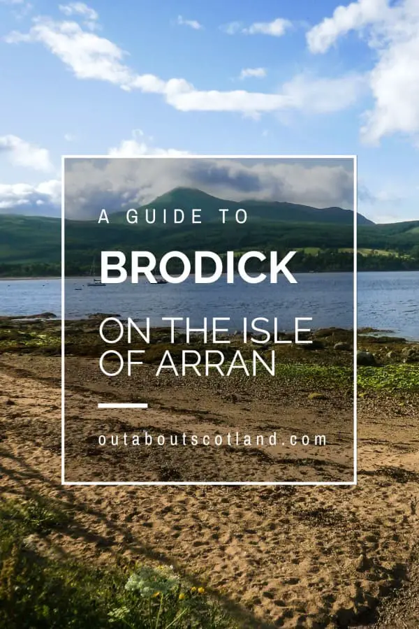
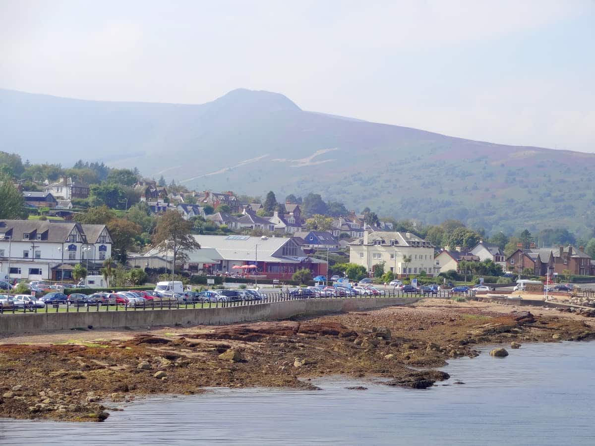
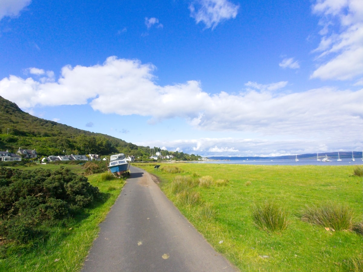
There are two main start and end points for the Arran Coastal Way: Brodick and Lochranza, which are the departure points for ferry services that operate between the mainland and the northern and eastern sides of the island. You’re obviously free to join the route at any point, but due to the fact that Brodick is the most-used port, it also tends to be the starting point for the majority of cyclists and walkers.
Signage is good at every stage of the trail, and there are a number of maps available online, but to be honest, Arran isn’t exactly the biggest island in Scotland, so there’s practically no chance of getting lost.
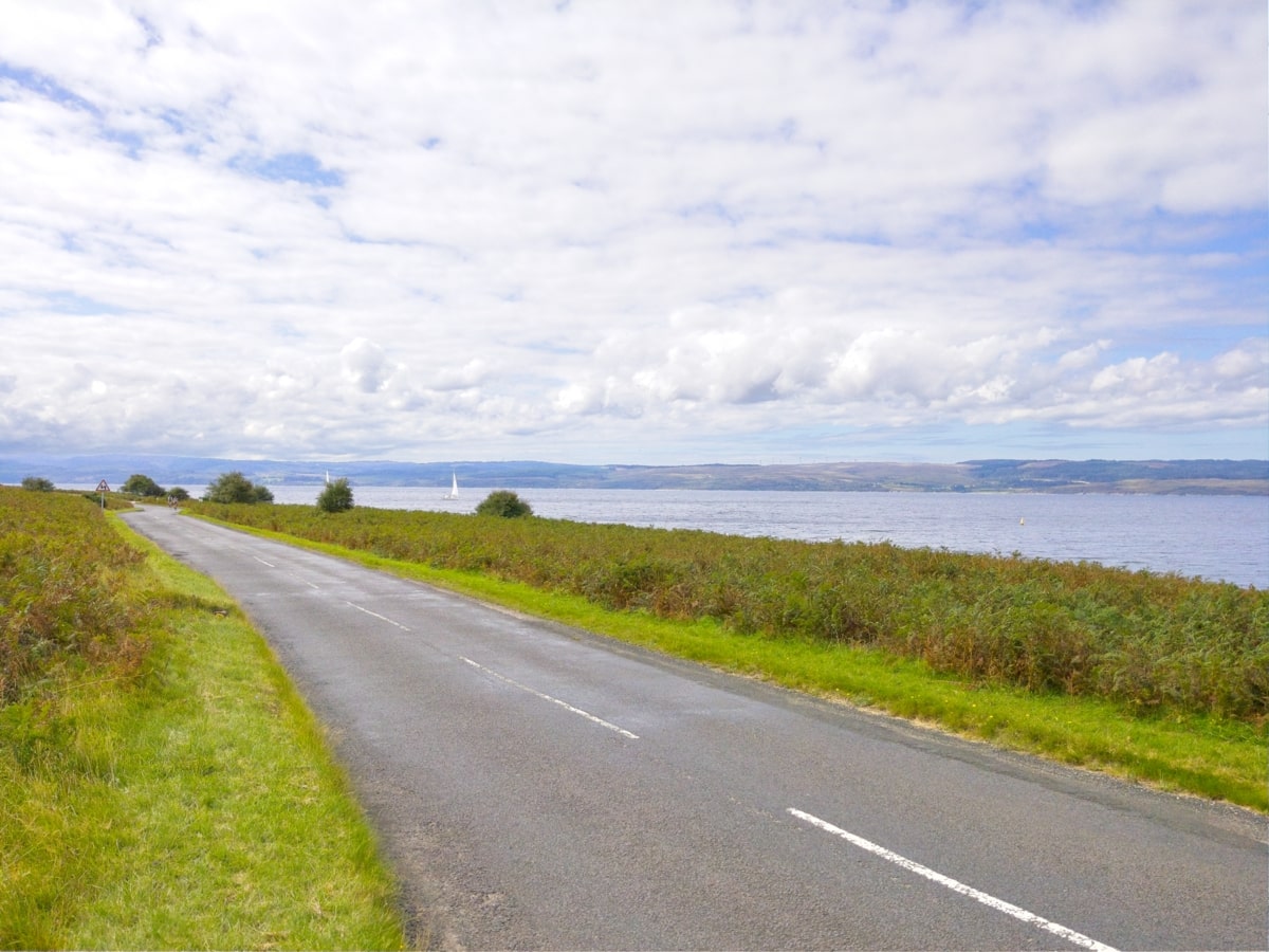
The Arran Coastal Way is broken down into 8 separate sections between 5 and 10 miles in length, each of which follows a variety of paths that vary from flat pavements to steep, rocky scrambles around the coastline. The majority of people shouldn’t have any problems following these trails, but for anyone who isn’t confident walking long distances, I suggest sticking to the sections on the A841 ring road.
Just be aware that outside of the villages there are very few pavements, so care must be taken to avoid traffic. That being said, there are grass verges along the roadside that can be stepped onto, and the road is dual-lane, so passing vehicles should have plenty of room to veer around you.
The 8 sections of the Arran Coastal Way are broken down into the sections listed in the table below which will give you an indication of distances and terrain types. I won’t go into further details, as you’ll find more information on the Arran Coastal Way website and the Walk Highlands website. Both are good resources, but the latter has accompanying photos of each stage, which are useful to help you get your bearings.
| Start & End | Distance | Terrain |
|---|---|---|
| Brodick to Sannox | 12km / 7.5 miles | Footpath, pavement, forest track. |
| Sannox to Lochranza | 15.5km / 9.5 miles | Footpath, forest track. |
| Lochranza to Imachar | 14.5 km / 9 miles | Footpath, road, beach. |
| Imachar to Blackwaterfoot | 16 km / 10 miles | Road, footpath. |
| Blackwaterfoot to Lagg | 11 km / 7 miles | Footpath, beach, road. |
| Lagg to Whiting Bay | 15 km / 9.5 miles | Beach, coastline, pavement. |
| Whiting Bay to Lamlash | 9 km / 5.5 miles | Footpath, beach, pavement, road, forest track. |
| Lamlash to Brodick | 8 km / 5 miles | Footpath, beach, pavement, road, forest track. |
The Highlights
1: The Arran Coastal Way is a 65-mile (105 km) trek that offers an incredible array of natural sights. As walkers travel around the island, they can expect to see rugged cliffs, pristine beaches, and sheltered bays. While some sections can be cycled, much of the Arran Coastal Way is best enjoyed on foot over the course of several days.
2: The coastline on the south of the island is exceptionally pretty, but the north isn’t far behind, especially around Sannox and Lochranza. This section of the coastline is one of the nicest parts of the island as it deviates from the ring road and gives an opportunity to see some amazing marine wildlife, including dolphins and basking sharks.
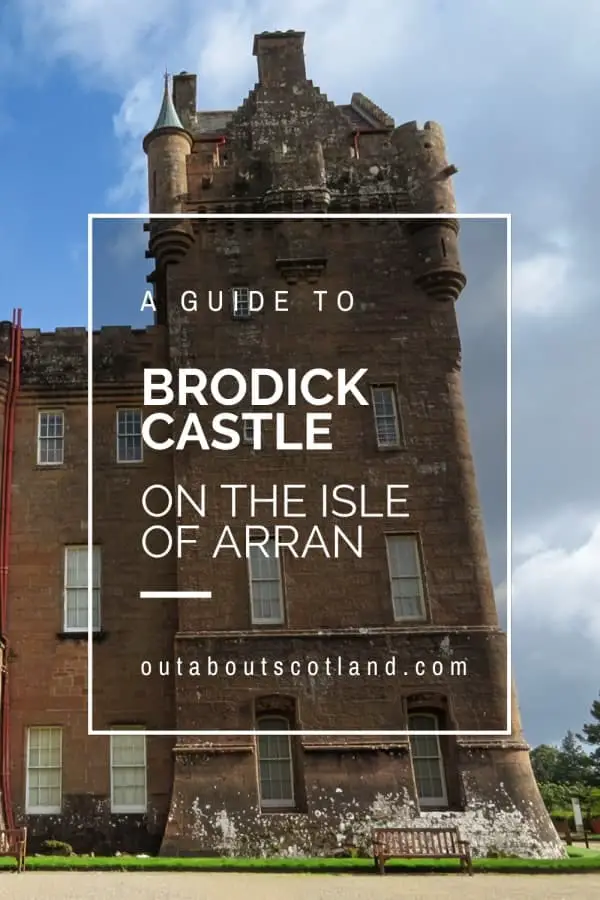
3: Arran is steeped in history, and along the Coastal Way, hikers will encounter ancient standing stones and burial cairns, as well as Brodick Castle, a 13th-century fortress with beautiful gardens.
Visiting Tips
1: My personal recommendation is to take it slow and follow the route over several days so you can make the most of the scenery. There’s no right or wrong direction, but I started the route from Brodick to Lochranza, which heads past the two biggest highlights of the island: Brodick Castle and Goatfell.
2: If it’s your first time on the island, I highly recommend picking up an Arran Coastal Way map and guidebook (Amazon link) before leaving home, as there are dozens of attractions that are worth visiting as you follow the route.
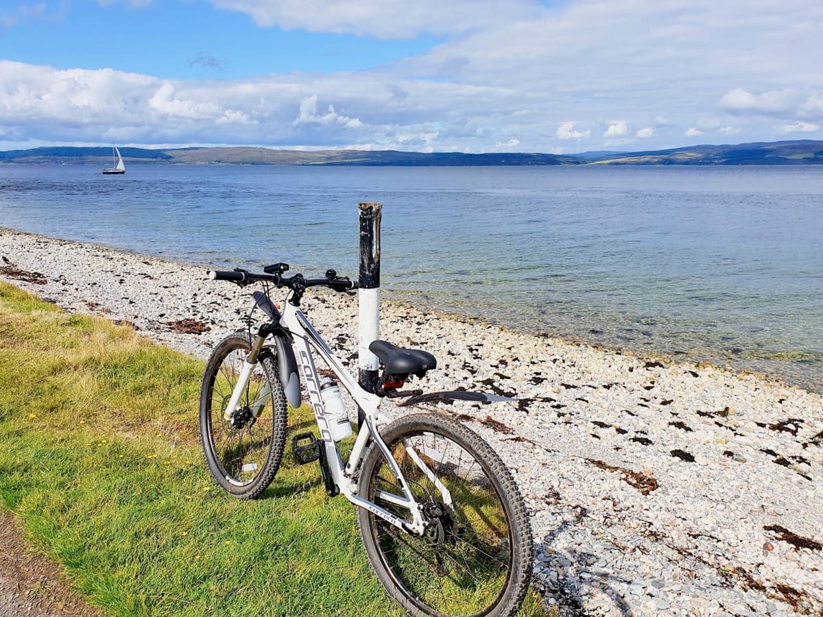
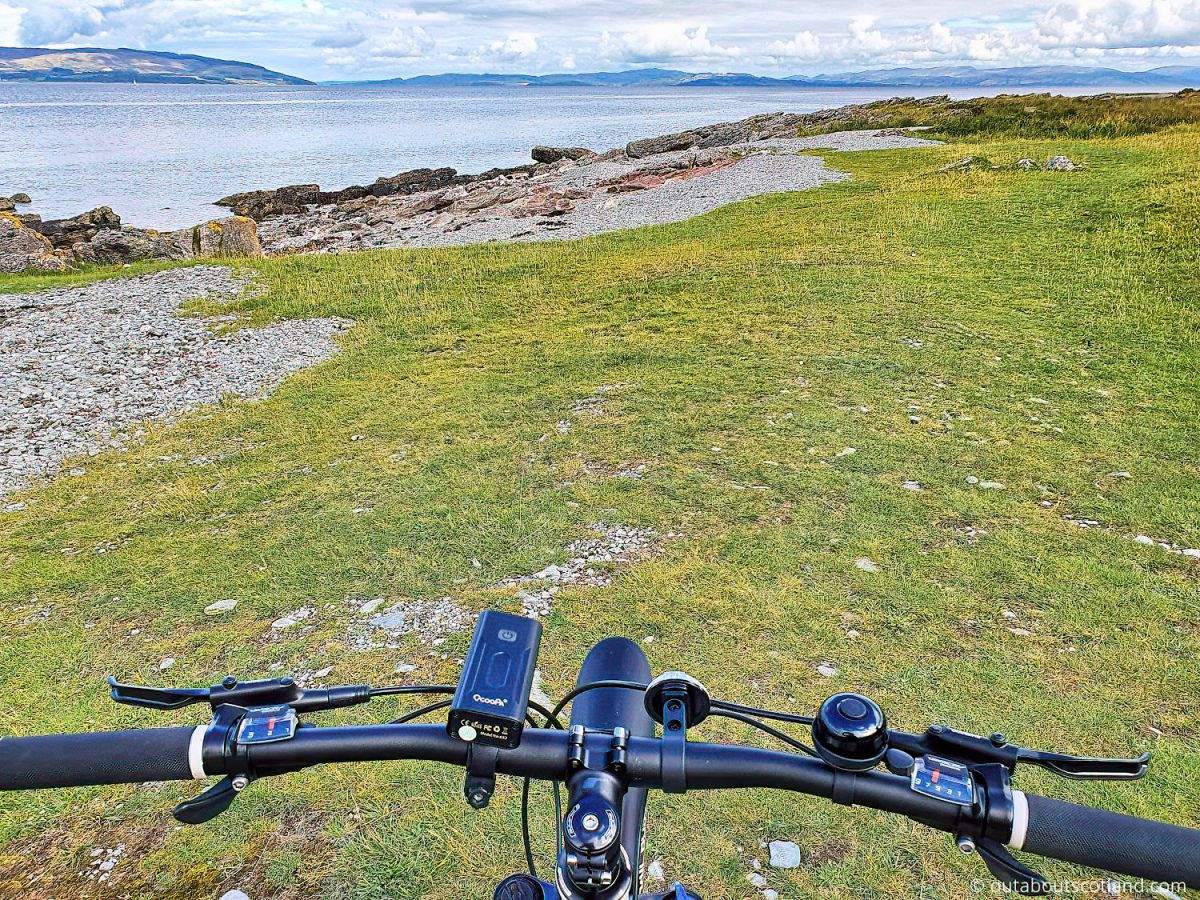
3: Arran is an ideal destination for cyclists thanks to the ferries at Ardrossan and Claonaig on the mainland, which sail into Brodick. Day tickets are around £10 for foot passengers with a bike, so for a memorable ride, you might consider starting at Brodick, heading south, and then pedalling back up around the west coast to Lochranza to catch a ferry and continue around the Campbeltown peninsula.
Tourist Information
The scenery at every stage of the A841 is stunning, and while I couldn’t really place one section above another, if I were pushed, I’d probably say the southern coastline is a wee bit nicer than the north. The south of the island was one of the first marine conservation areas in Europe, so the sea is absolutely crystal clear down there, which means there’s a very good chance of seeing otters and other marine wildlife as you make your way around the coastline.
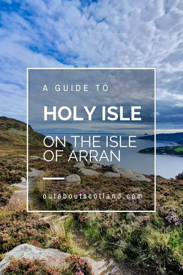
Arran’s beaches are mostly shingle, so I’d leave your bucket and spade at home, but you might consider packing your swimming gear if the weather is warm enough. Lamlash Bay, which is a few miles south of Brodick and protected from the Firth of Clyde by the Holy Isle, is an ideal spot for swimming, though it’s best to keep near the shore as there are strong currents further out.
If you’re visiting Arran as a day tripper, you might like to ride around the ring road rather than walk the Arran Coastal Way, as the entire perimeter of the island can be completed in under six hours on two wheels. Those looking for a slightly longer adventure can add more miles to the route by cutting across ‘The String’, which bisects the middle of the island from east to west, and cycling a figure-eight circuit instead of following the A841’s oval.
Alternatively, you could separately tackle the north and south sections of the trail over a couple of days, which would give you more time to enjoy attractions like the Machrie Moor standing stones on the west coast and Brodick Castle on the east.
Be aware, though, that the east coast from Brodick towards Lochranza is quite steep, so you’ll need to plan extra time to complete that section. Once at Lochranza, I recommend walking around the eastern coastline to follow the Lochranza Coastal Trail which leads to the Fairy Dell, a stunning setting at the foot of a hill that sees few tourists.
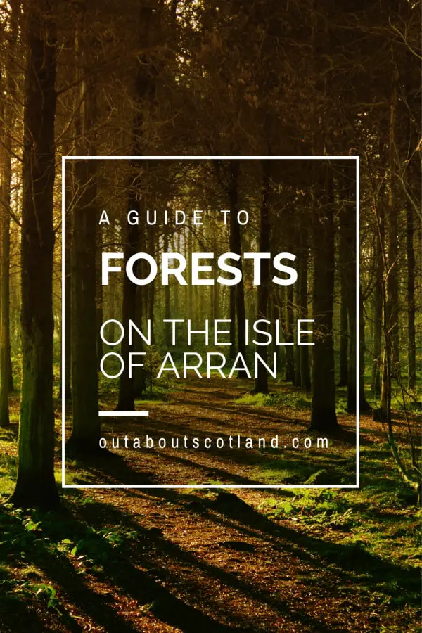
If you have a mountain bike, meanwhile, I recommend heading to the south of the island, mainly for the trails that run into Glenashdale Wood, west of Whiting Bay. The coniferous forest there is vast and is (at least when I visited) almost entirely tourist-free, so it makes a nice diversion away from the camper vans on the A841.
Things to Do
Visit Brodick Castle: As you leave Brodick you might like to take a detour to see the castle, a historic landmark nestled amongst stunning gardens and woodland. The castle boasts a rich history, with artefacts dating back to the Vikings.
Admire Goatfell Mountain: At 874 meters, Goatfell is the highest point on the island, offering breathtaking views across Arran and the Firth of Clyde. You’ll see the mountain as you follow the route on the northeast side of Arran.
Wildlife Watching at Lochranza: Lochranza, located on the northernmost point of Arran, is renowned for its wildlife-watching opportunities where visitors can see red deer, seals, and an array of bird species. You might even spot golden eagles soaring overhead.
Explore the Machrie Moor Stones: Walk back in time with a detour to the Machrie Moor Stone Circles. These Bronze Age standing stones offer a fascinating insight into the island’s ancient past, set amidst a dramatic landscape of moorland and rolling hills.
Relax at Kildonan Beach. Kildonan Beach is the perfect place to take a break from the Arran Coastal Way. Its golden sands, clear waters, and views of Pladda Island create a peaceful atmosphere. It’s also a great spot for seal-watching, adding a touch of wildlife adventure to your visit.
Frequently Asked Questions
How long is the Arran Coastal Way?
The Arran Coastal Way is a 65-mile (105-kilometre) circular route that runs around the perimeter of the Isle of Arran.
How long does it take to walk around Arran?
Walking the Arran Coastal Way will take between 6 and 8 days, depending on fitness levels. The 56-mile circular ring road around Arran will take road cyclists of reasonable fitness levels around six hours to complete. In about 2 hours, a car can complete the same route.
What is the route around the Arran Coastal Way?
Brodick to Sannox: 12 km/7.5 miles.
Sannox to Lochranza: 15.5 km/9.5 miles.
Lochranza to Imachar: 14.5 km (9 miles).
Imachar to Blackwaterfoot: 16 km/10 miles.
Blackwaterfoot to Lagg: 11 km (7 miles).
Lagg to Whiting Bay: 15 km/9.5 miles.
Whiting Bay to Lamlash: 9 km/5.5 miles.
Lamlash to Brodick: 8 km (5 miles).
How hard is the Arran Coastal Way?
The Arran Coastal Way is considered moderate to challenging. It’s approximately 65 miles long and can be completed in 7 days. It involves a variety of terrain, including forest paths, beach walking, and some rocky sections.
Some parts of the route may require scrambling skills, especially in the southern half of the island. The weather can also add to the challenge. It’s crucial to be well-prepared with the right equipment, maps, and knowledge of the route.