Beinn Mhartainn, Barra
Welcome to the untouched beauty of the Isle of Barra in Scotland. Famous for its soaring hills and beautiful white-sand beaches, Barra is a haven for anyone looking for an outdoor adventure in the Outer Hebrides.
There are many walking trails on Barra, but one of the best takes visitors around Beinn Mhartainn hill on the west side of the island, past the villages of Craigston and Allasdale, and through windswept stretches of moorland that are home to golden eagles.
Beinn Mhartainn
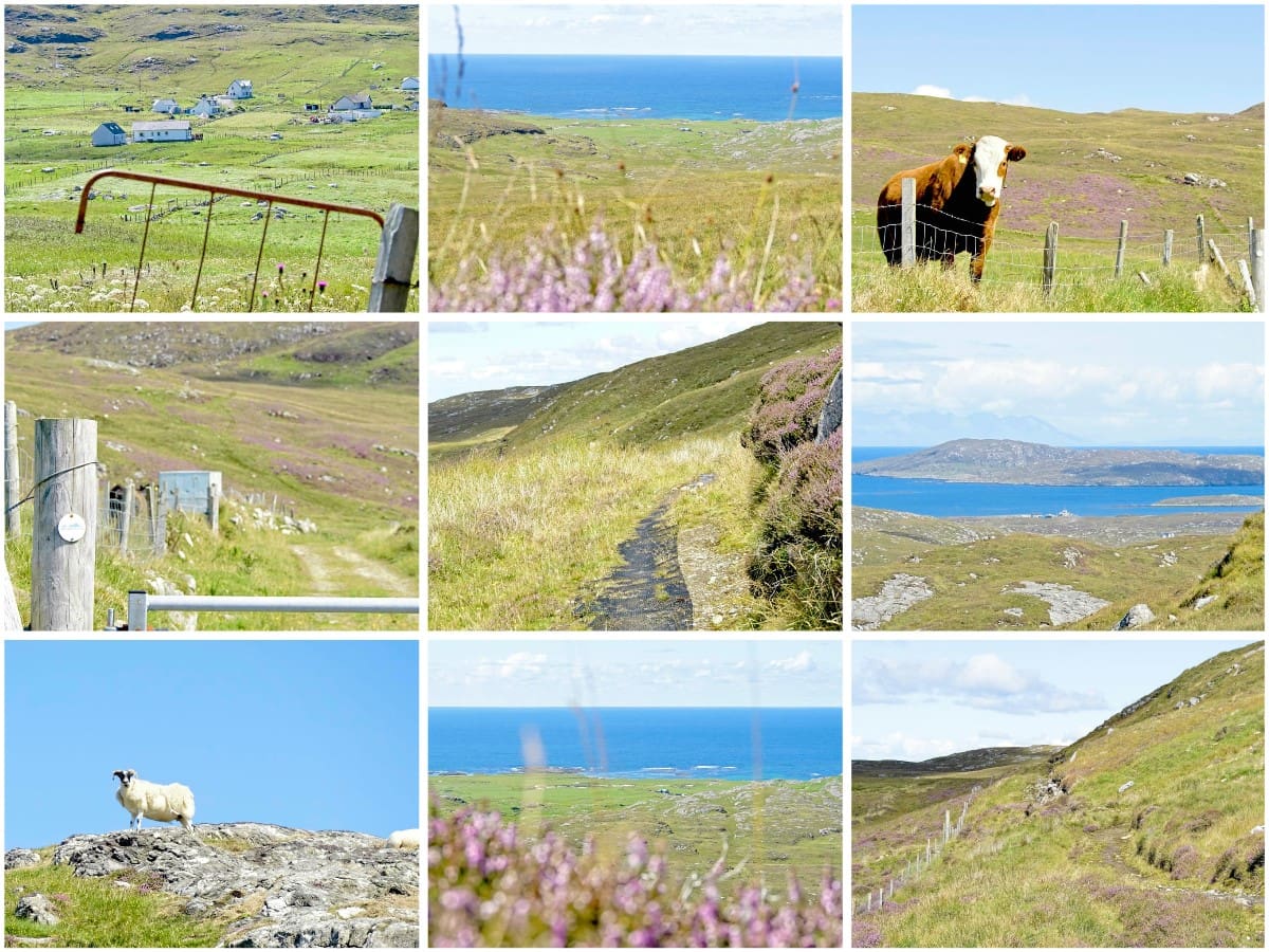
If you’ve ever visited the Isle of Barra there’s a good chance you’ll have spent some time exploring the island’s beautiful coastline which is home to some of the prettiest white-sand beaches in Scotland. While these beaches offer some good walks along the dunes, there are even more scenic walking routes towards the centre of the island, where visitors will find a completely different landscape comprised of soaring hills and sweeping expanses of moorland.
The most famous of these peaks is Heaval – the tallest hill on Barra – but there’s another hill nearby that offers a longer walk in surroundings that are just as attractive yet see far fewer tourists. Beinn Mhartainn is only 801 feet (244 metres) at its summit, but it’s worth visiting as it has a waymarked trail around it that crosses a wild landscape that’s a haven for wildlife and has some of the best viewpoints on the entire northern half of Barra.
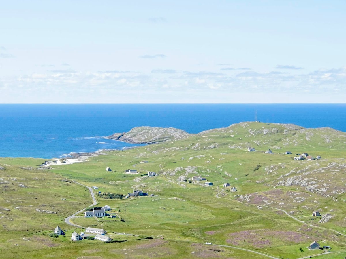
The circular route around Beinn Mhartainn follows a minor road leading into the hills past the settlement of Craigston, heads up an incline on a farm track, and then cuts across moorland before finishing back on the A888 ring road. The entire 5.5-mile walk offers lovely views from beginning to end, starting with the glen at Craigston and finishing at the coastline, with the midsection offering a panorama of Barra’s northern and western sides.
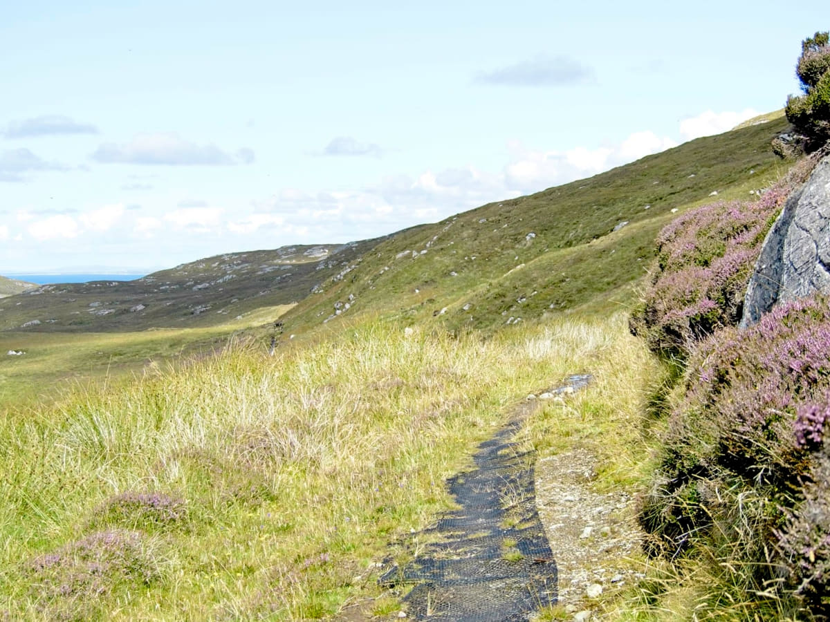
The eastern section is particularly attractive as it’s awash with purple blooms of flowering heather, and it’s also a great place to spot golden eagles, so if you’ve never seen one I highly recommend this walk as there’s a very good chance you’ll see one of these magnificent birds of prey at some point.
With regards to the terrain, the entire north, west, and half of the southern section are on tarmac, so it’s very easy to walk on, though you’ll have to take care of oncoming traffic while on the A888. The minor road heading to Craigston, meanwhile, sees very few cars, and once you hit the farm track you’ll see no traffic at all.
The track is initially flat but gradually transitions to a minor incline until the route changes direction from east to north, at which point the elevation increases from 280 to 550 feet over the course of half a mile. Not particularly steep in the grand scheme of things, but certainly enough to get the blood pumping.
From this point, the farm track becomes a rough grass path that passes through a few very muddy sections until you reach the ring road 1.3 miles later. I wouldn’t describe it as the most taxing walk in Scotland, but I still recommend wearing waterproof walking boots and taking an OS map with you.
In total, expect to take around 3 hours to complete this walk for anyone with average fitness levels, and add another 30 minutes for the detour to Dun Bharpa (a chambered cairn that was built sometime around 3500 BC).
Walking Route
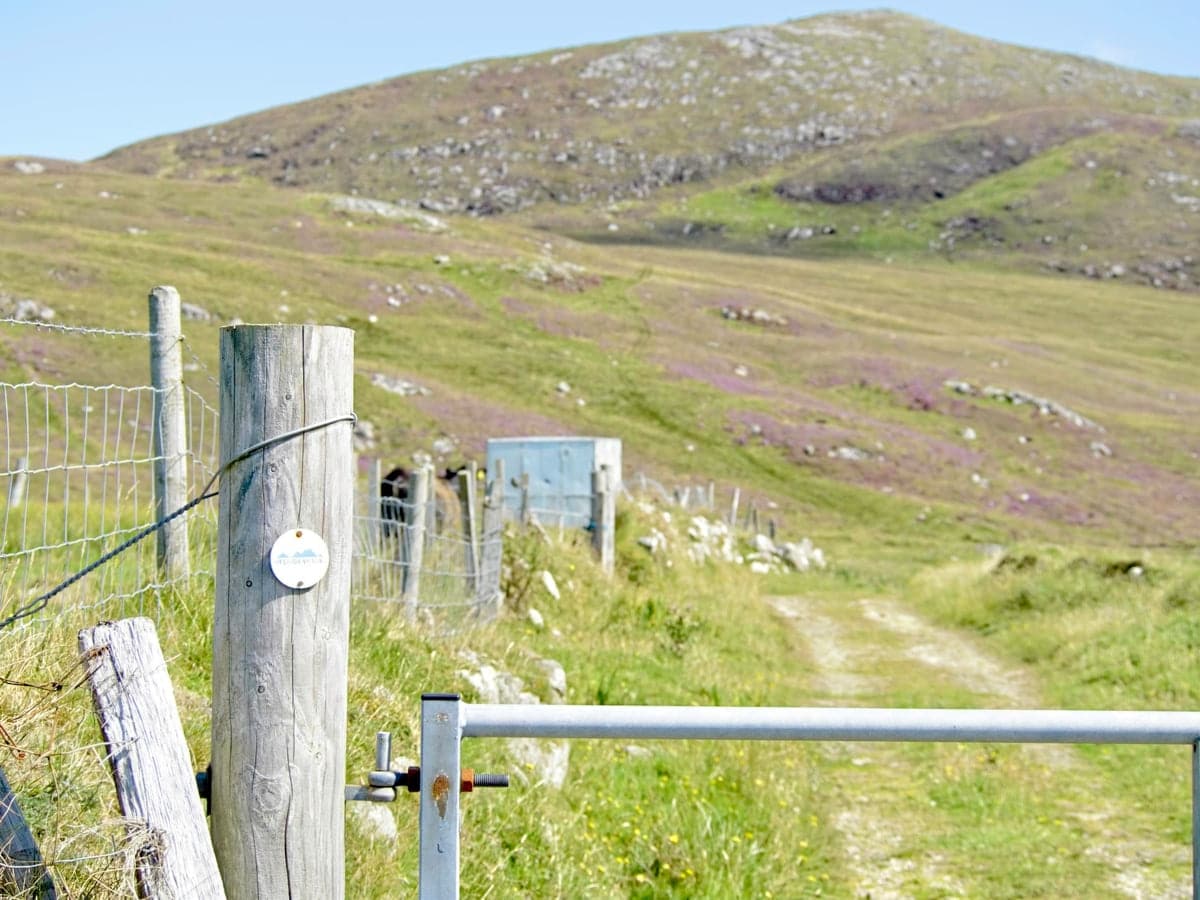
1. Craigston: Start your journey from the small parking area (actually a place for vehicles to turn) at the very end of the road that runs through Craigston.
2. Follow the trail: From the tuning area, the road immediately heads onto a farm track. This is the start of the Beinn Mhartainn trail. Follow the track as it runs up the edge of the Craigston glen and begin your ascent.
3. Ascend Beinn Mhartainn: Follow the track heading east and then veer north (the track is obvious to follow). This is the start of the ascent up the edge of Beinn Mhartainn. As you climb, take time to enjoy the stunning views of the surrounding landscape.
4. Midway along the east side of Beinn Mhartainn: Once the terrain levels off you’ll have a panoramic view of the Isle of Barra. Note that this is the muddiest part of the walk, but it’s made easier to trudge through thanks to plastic matting that has been laid in the worst places. It’s around here where you’ll probably see golden eagles.
5. Descend to the A888: The trail becomes indistinct once you reach the top of the rocks on the northern side of this walk, but the ring road can be seen below. Use your own judgement to pick out a safe route to descend down the hillside back to the road. A low fence is blocking the road, but there are gates in several locations.
6. A888: Once on the A888 it’s a simple matter of following the road west towards the beach at the Cuier Cemetery where it then changes direction south. Take the junction at Craigston which heads back to the start of the walk.
The entire road section of this walk is around 3 miles which will take approximately 1 hour to complete. Expect to take around 2 hours to complete the 2-mile section that heads around the edge of Beinn Mhartainn.
The Highlights
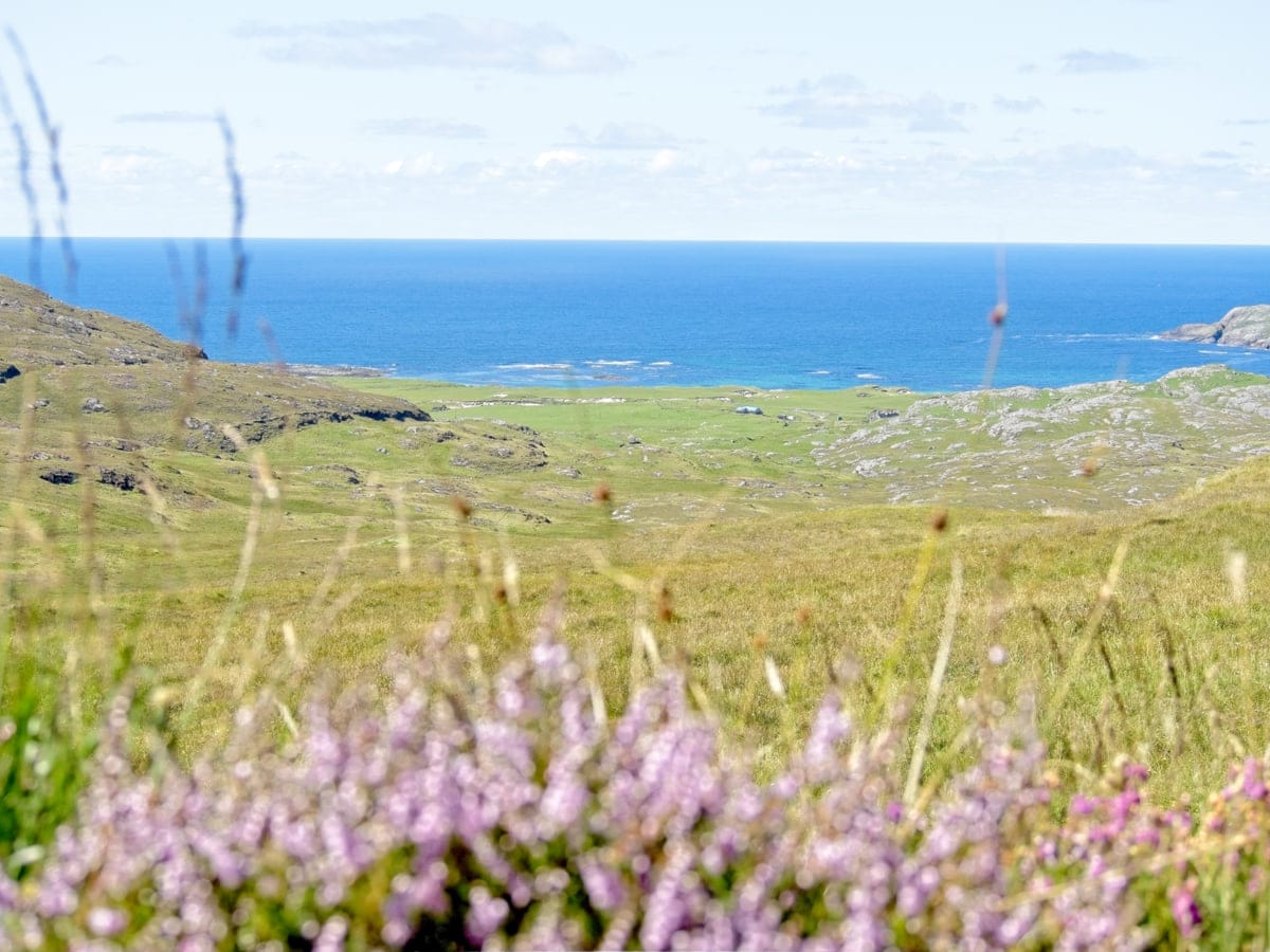
1: This walking trail is one of the best ways to see the Isle of Barra. Roaming across the wild hills in this part of the island offers visitors the chance to soak up stunning views of the coastline from an elevated position.
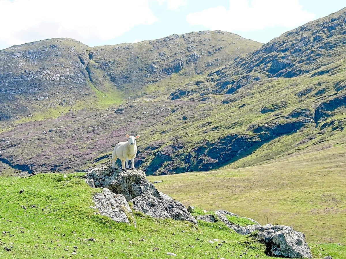
2: The area around Beinn Mhartainn is a great place to spot golden eagles on the hunt for their next meal. If you have binoculars (link to recommended pairs), you’ll have a fantastic bird-watching experience.
Visiting Tips
1: Due to the rainwater runoff from the surrounding hills, the path across Beinn Mhartainn gets very muddy, even in summer. If you intend to follow this route I highly recommend wearing a decent pair of waterproof walking boots (link to recommended pairs).
2: Parking spaces in the area are somewhat limited. The best spot is located at the very end of Craigston Road, which ends at a turning area. Note that this isn’t a car park as such, but there’s enough room for 2-3 cars on the verge. Another good parking area can be found on the side of the A888 at the Cuier Cemetery.
3: If you fancy cooling your feet down after hiking across the hills, take a detour near Allasdale, where you’ll find a lovely, secluded beach set against a beautiful turquoise sea. The entrance to the beach is across a cow field with a gate opposite the turning to North Allasdale (you can’t miss it as there’s a red post box next to the road sign).
Things to Do
Wildlife Spotting: The hills around Allasdale and Craigston offer an amazing opportunity for wildlife spotting, especially golden eagles. Don’t forget to take your binoculars, as there’s a good chance of spotting these amazing birds in flight.
Hiking and hillwalking: The Isle of Barra is known for its rugged, untouched landscapes, making the hills around Allasdale and Craigston ideal for hiking enthusiasts. The trail across Beinn Mhartainn is easy to navigate and features breathtaking views of the surrounding sea and islands.
Photography: Any shutterbug can find a wealth of scenes to capture in this picturesque setting. The stunning juxtaposition of heather-covered hills and the deep blue hues of the sea and sky create a mesmerising canvas, particularly during the magical golden hour.
Historical Exploration: Explore the ancient ruins of Dun Cuier, the remnant of an Iron Age broch (an ancient type of fort) fort located on top of a hill near Cuier Cemetery. Imagine the life of ancient Celts as you walk around the ruins and soak up the panoramic views stretching out beneath you.
Picnicking: Pack a picnic and head to the hills for a relaxing outdoor lunch. The bare rocks on the hill to the east of Dun Cuier make a great picnic spot thanks to the sea views that provide a perfect backdrop for a leisurely picnic.
Things to Do Nearby
Eoligarry Peninsula. Address: Eoligarry, Isle of Barra, HS9 5YD.
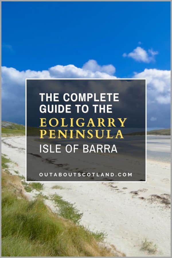
This peninsula is located on the northernmost tip of Barra and is famous for having the world’s only beach airfield, Traigh Mhor, as well as two other beautiful white sand beaches (Traigh Eais and Eolaigearraidh Beach) within walking distance.
There are several campsites on Eoligarry and it’s also a popular launching point for sea kayaks to explore the nearby islands of Fiaraidh and Fuday.
Northbay. Address: Isle of Barra, HS9 5YQ.
A picturesque footpath starts near Loch an Duin on the northeast corner of the A888 which passes through open moorland before taking a detour over hills and finally finishing back on the A888 south of Northbay.
Walking back to Loch an Duin on the ring road takes visitors through the quaint coastal village of Northbay which is home to a cafe (ideal for a post-walk cuppa) and the island’s community garden centre which sells locally grown vegetables.
Hebridean Way.
The Hebridean Way is a 185-mile touring route that spans the inhabited islands of the Outer Hebrides, starting on the Isle of Vatersay and finishing on the Isle of Lewis. Visitors to Barra can complete the first stage by setting off from Vatersay, crossing the causeway, and following the A888 around Barra to the village of Ardmhor, where they can then catch a ferry to the Isle of Eriskay.
Traigh Mhor Beach. Address: Eoligarry, Isle of Barra, HS9 5YD.
The famous location of a beach airfield, Traigh Mhor is an enormous expanse of sand that’s a must-see for all visitors to Barra. Although it’s not possible to walk on the beach when aircraft are in the air, another beach on the opposite side of the peninsula (less than a 1/4-mile walk) is open at all times.
Sea Kayak to Fuday and Hellisay.
These two uninhabited islands are located to the east and north of Traigh Mhor. Fuday is the easiest to paddle to of the two, as it’s just 0.7 miles from a jetty on the northeast corner of Barra.
Hellisay can be accessed from the slipway at the Ardmhor jetty where Calmac’s Eriskay to Barra ferry moors. This is the most scenic kayak route as there are a number of picturesque islets between Barra and Hellisay.
Frequently Asked Questions
Can you walk around Barra?
Yes, you can walk around the Isle of Barra in Scotland. It’s a relatively small island with a coastline of approximately 30 miles. Walking along the entire coastline would be a challenge but certainly doable, though the majority of visitors stick to the A888 Ring Road, which can be walked in around 4 hours.
Can you visit Barra without a car?
Yes, you can visit Barra without a car. Barra, the southernmost island in the Outer Hebrides of Scotland, is easily accessible by ferry or plane. Once on the island, you can explore it by bike or on foot.
However, bear in mind that Barra is quite hilly and some areas can be challenging to reach without a vehicle. Buses are available but services are limited, so planning your journey in advance is advised.
What is the highest hill on the Isle of Barra?
The highest hill on the Isle of Barra is Heaval which reaches a height of 383 metres (1,260 feet). The hill dominates the southern part of the island and is known for the statue of the Madonna and Child, called ‘Our Lady of the Sea’, near its summit. This landmark is a popular destination for tourists.
How do I get to the Isle of Barra?
There are two travel routes to get to the Isle of Barra.
The first is to take a scheduled flight from Glasgow to Barra Airport with the carrier Loganair.
The second travel route is to take a Calmac ferry which operates from Castlebay on Barra to Oban (mainland), Tiree (Inner Hebrides), and South Uist (Outer Hebrides).
An alternative Calmac ferry operates between the Isle of Eriskay and Ardmhor on Barra.
