Isle of Arran Forests
The Isle of Arran features a diverse landscape that allows visitors to climb mountains, explore coastlines, and wander through thick forests.
The forests of Arran offer some of the best mountain biking routes of any of the west coast islands, and any cycle ride is almost guaranteed to include sightings of Arran’s famed red squirrels. In this article, we’ll explore the most popular Isle of Arran forests: Brodick Castle, Dyemill, Glenrickard, King’s Cave, North Sannox, and South End.
Isle of Arran Forests
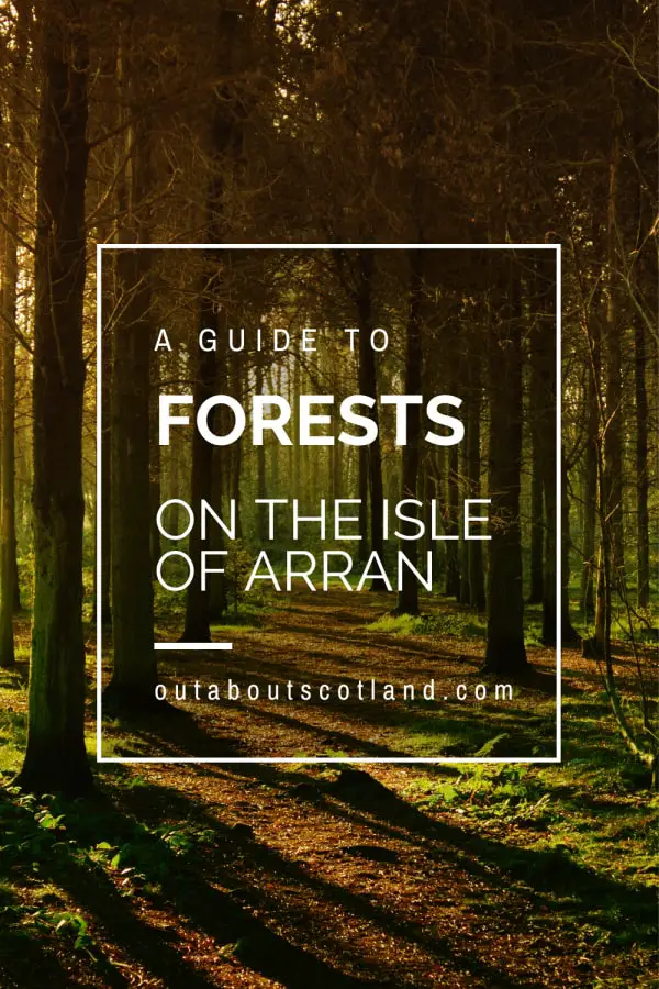
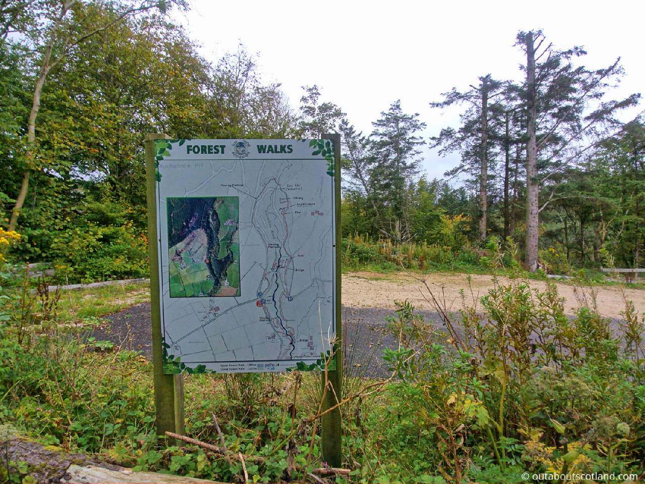
The forests of Arran cover more than a quarter of the island’s landmass and are almost entirely located in the south in what is known locally as ‘The Lowlands’. If you weren’t already aware, the Highland Boundary Fault divides Arran in half as it travels from the southwest of Scotland all the way to the northeast, roughly from Arran to the town of Stonehaven.
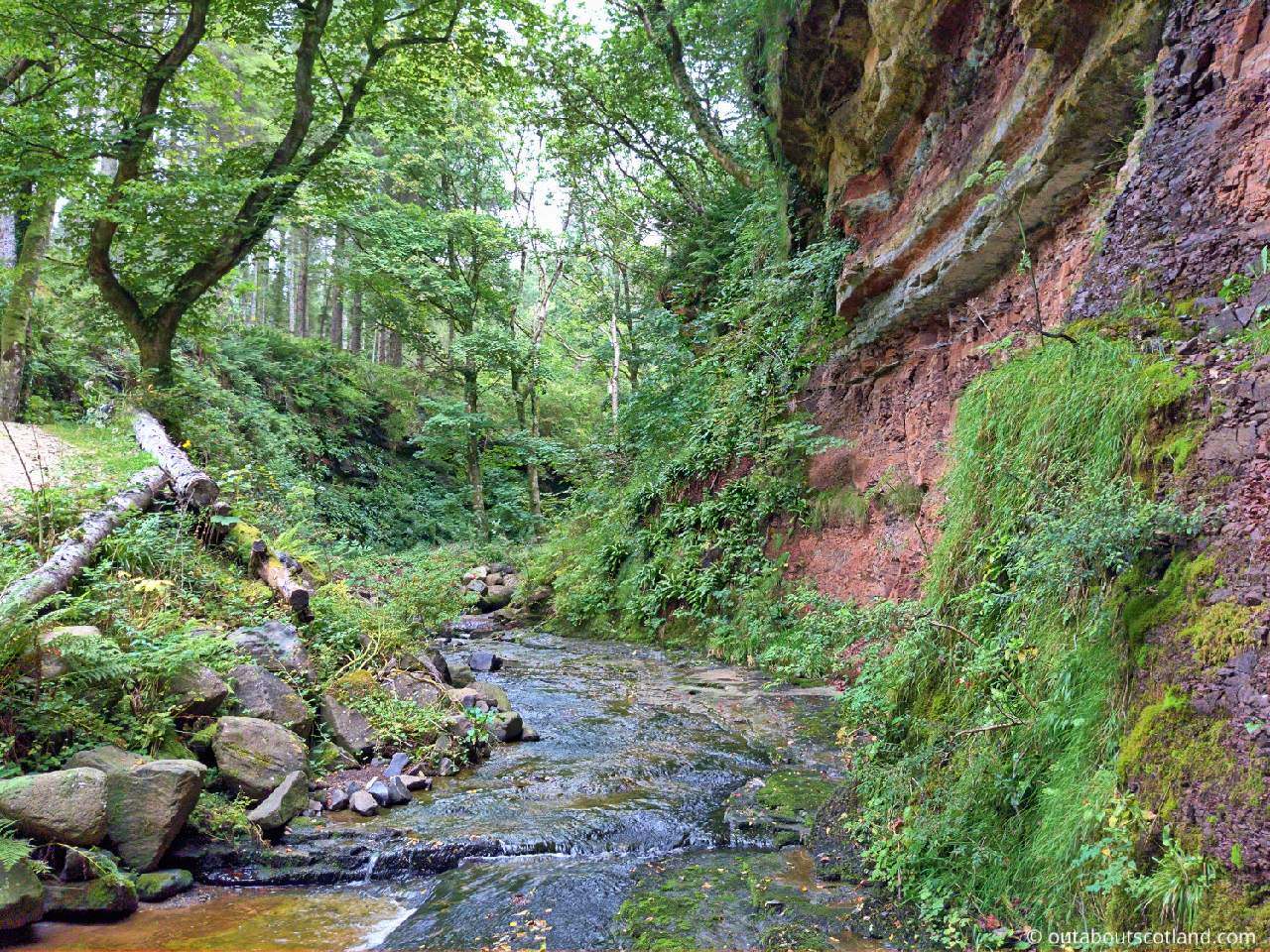
Like elsewhere in Scotland, this fault line causes the landscape to be vastly different in the areas on either side, which is why you find so many rough gorges, waterfalls, and mountains (Corbetts) on the northern half of Arran, and so many dense forests on the low-lying southern half.
Arran’s forests are mostly coniferous due to the fact that large swathes are privately owned and cultivated for timber (fir trees grow much faster than deciduous trees). Though most of these trees are non-native, there are numerous areas on the island that are under the control of the government-backed Forestry and Land Scotland (FLS) agency, which has taken great care to protect Arran’s native trees.
You’ll have a different experience in the commercial and native forests, with the latter offering a more enjoyable experience that’s ideal for walking and the former being ideal for cyclists thanks to the commercial roads, but both offer a great way to experience the island away from crowds of tourists.
If you visit Arran for an extended stay, I recommend you take your mountain bike with you, as the trails are superb. While they’re not exactly up there with the adrenaline-junkie runs you’ll find in Perthshire’s big tree country they’re definitely some of the nicest (and easiest) routes in Scotland if you’re after a more relaxing ride.
The FLS forests, meanwhile, are thick and ancient, comprised of a variety of whitebeam, larch, conifer, and other species that offer a habitat for the reclusive red squirrels that thrive on Arran without competition from the invasive greys on the mainland. These forests and woodlands are preferable for walking, as FLS has installed a network of paths through them, unlike the commercial forests which have no paths other than logging roads.
The Highlights
1: All of Arran’s forests are open to visitors, but my personal favourite is North Sannox, which offers an amazing walk along the coastline. Overall, though, every wooded area on the island offers good walking trails, especially those that Forestry Land Scotland manages.
2: If you’d like to combine a forest walk with other attractions, you won’t go wrong with a visit to Brodick Castle. The castle’s gardens blend seamlessly into the surrounding forest, and you can even deviate onto one of the trails that scale the mighty Goatfell. If you intend to make the climb, make sure you’ve packed suitable clothing and keep an eye on the time so you’re not returning in the dark.
3: King’s Cave is another recommended forest due to its location on the west coast and the views of the Campbeltown peninsula. The actual King’s Cave is an interesting place, but you won’t spend long there as it’s not very big, so it’s just as well that that section of the coastline near it is so beautiful.
Visiting Tips
1: If you’d like to find a forest on Arran, I recommend downloading the official FLS Arran Forests Guides. Each guide is full of interesting information and includes details of where the main forests are located.
2: I recommend taking a mountain bike if you’re visiting Arran. Sure, you can set off on foot, but you’ll miss the miles and miles of forest trails that are best enjoyed on two wheels. If you don’t have your own bike you can hire one from Arran Bike Hire, located in Brodick.
Commercial Forests
You’ll find these stretches of forest on the south side of the island, although due to the larch disease crisis, many of the tree plantations have been dramatically cut back, and to date, over half a million trees have been felled to combat the infection. Even so, there are still large areas left standing that are easily accessible by road. One recommendation I have is to follow the A841 and head towards the small village of Kilmory (postcode KA27 8PH).
Look for a single-track road that spurs off north at 45 degrees and follow it till you get to a small parking area next to a woodland that borders Kilmory Water. From there, you’ll be able to cycle or walk for several miles into the countryside on rough gravel roads. It’s a very pretty area, and the views from the surrounding hills are stunning.
There are a few signposts to indicate where the roads head off to, but they’re fairly infrequent, so I advise you to take your phone with you to see your location on Google Maps. If you keep following the road as it heads north and then east, you’ll eventually find yourself back on the A841.
My favourite moment from my last trip to Arran was cycling along this forest road and following a golden eagle that was soaring overhead. Apparently, the forests around Kilmory are a favourite hunting ground for them, so there’s every chance you’ll get to see one as well.
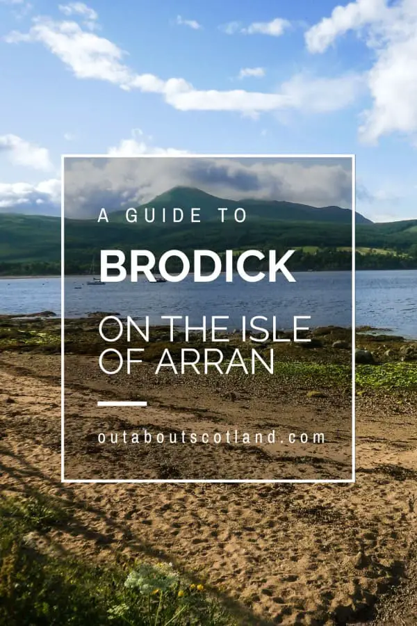
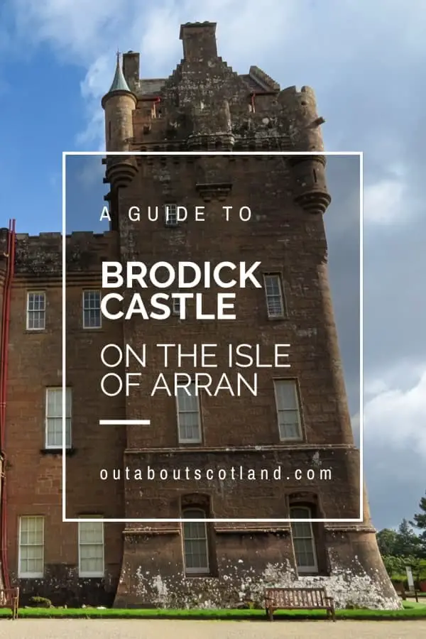
Brodick Castle Forest
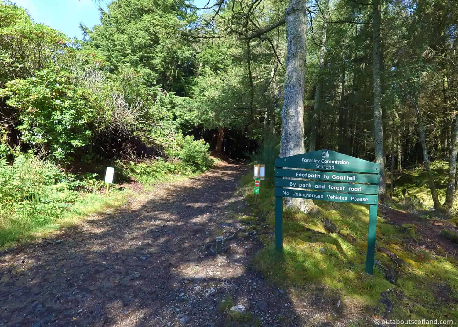
There’s more to this corner of the island than first meets the eye and you might be surprised to discover that the road that runs alongside the castle is also the starting point for excursions up Goatfell. While a hike up the Corbett is definitely worth doing, don’t forget to spend a little time in the forest at the foot of the mountain, where you’ll find a spider’s web of paths that extend for over 10 miles through mixed woodland.
All the trails are easily accessible from the Cladach car park (signposted as you approach the castle), and they’re flat and level enough so that anyone can enjoy them, from toddlers to grandparents. The biking trails are pretty good, but I found myself choosing to leave the bike in the car when I last visited, as it was so busy with tourists that it would have been impossible to get a decent amount of speed up.
The scenery is stunning once you reach the elevated sections, with fantastic views over Brodick Bay and the Firth of Clyde. I’d say this is the best forest walk on the island if you don’t want to venture too far off-grid, as you’re never more than a mile or two from the castle or the Cladach pub.
Dyemill Forest
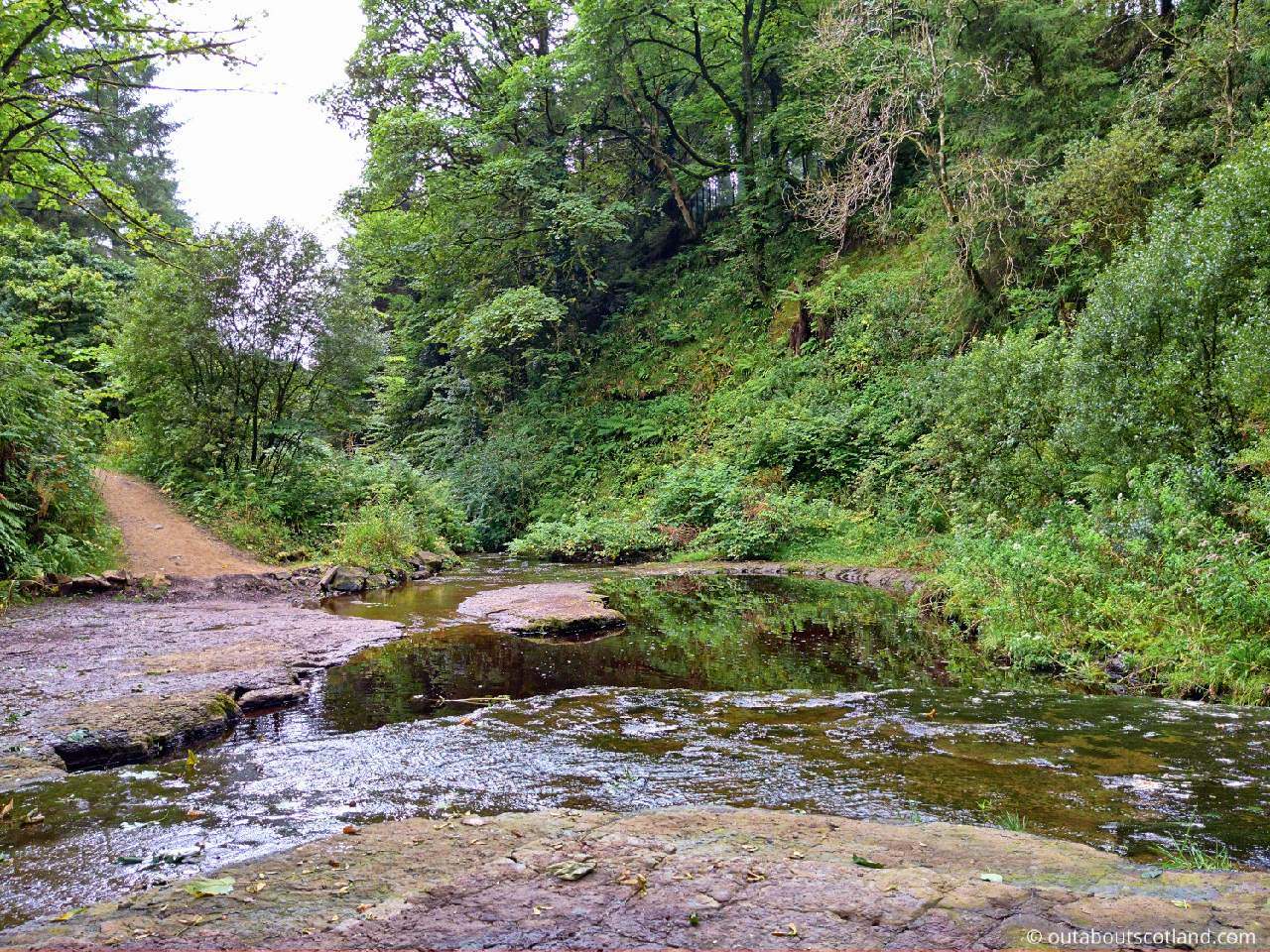
This woodland isn’t particularly big, and it’ll only take you an hour to walk, but it’s nevertheless worth taking the time to visit. You’ll find it just off the A841 near the turning to Kildonan (postcode KS27 8SD), which overlooks the island of Pladda. From the car park, you can set off on foot along a rough path for just over one mile before it turns back on itself, with the path being a little uneven underfoot, though it shouldn’t be a problem for the majority of people.
At the far end of the path is a slight diversion to a chambered cairn that dates from Neolithic times, and there are ruins midway along the west branch of the path that are the remains of one of the old Highland clearance villages.
Glenrickard Forest
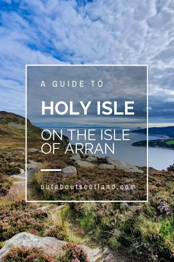
This is one of the busiest areas of woodland on Arran, purely because it’s so close to Brodick, meaning it’s possible to step off as a foot passenger and walk to Glenrickard for a day trip. With regards to walking trails, I recommend the Clauchland Hills trail, which offers a fairly strenuous climb but rewards with lovely views across the east coast of Arran, where you’ll see Brodick Bay and Holy Isle.
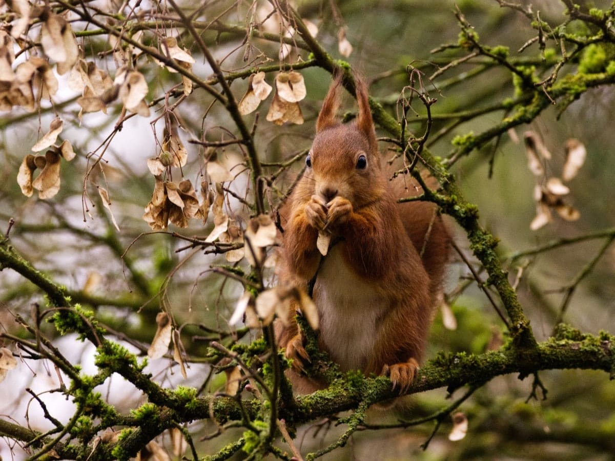
It’s also a favourite spot for red squirrels, so if you’ve ever wanted to see one up close, this woodland is the place to go.
There are several paths through the forest and they’re in a better condition than most of the other wooded areas on Arran, which is possibly why it’s a popular place for mountain bikes. One thing Glenrickard gets bonus points for is the fact that it’s located between Lamlash and Brodick, so you’re never really that far from a coffee shop or two, and Lamlash Bay, in particular, is worth visiting for the cafés that border the shoreline.
King’s Cave Forest
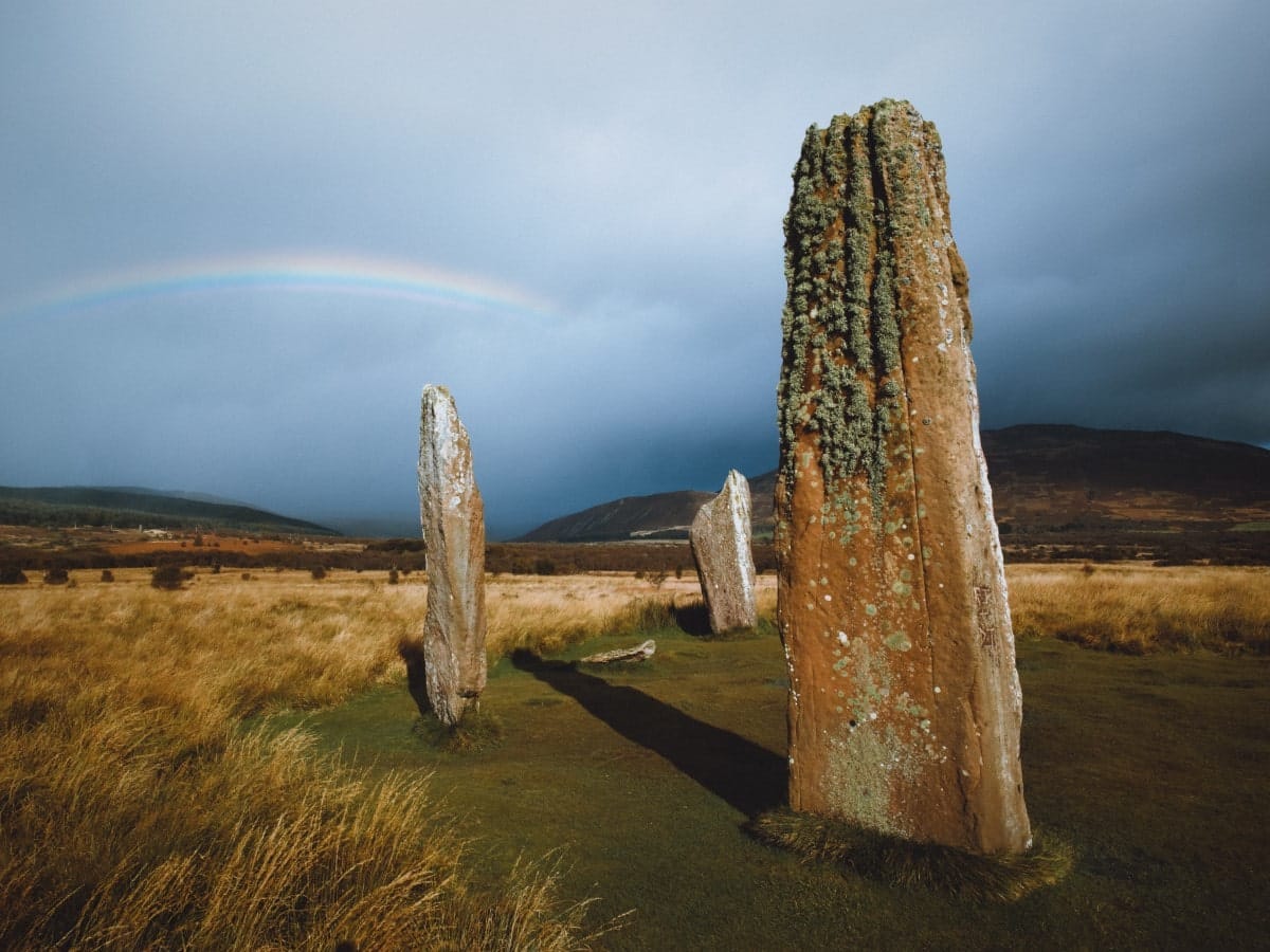
This forest lies on the west coast of Arran, between Tormore (postcode KA27 8DX) and Torbeg (postcode KA27 8HE). I really love this part of the island, as the coastal road is stunning all the way from Tormore up to Lochranza, although the particular section where the King’s Cave forest is located veers slightly inland for a few miles.
To get there, set your satellite navigation for either of those villages and you’ll eventually find the forest, which is impossible to miss as it’s the only area of trees to the west of the A841. Once at the site, you’ll find a car park just off the road with a circular path leading away from it that heads into the trees and emerges a few miles along the coastline near the cave where Robert the Bruce once took refuge.
The cave is rather interesting as there are some early Christian carvings inside, but the entrance is protected by steel bars that are sometimes closed and locked. Still, the walk to the cave is enjoyable and you could easily spend 2-3 hours in the forest if you walk around all the paths or sit on the shore with a sausage roll in hand while watching the boats sail between Arran and the Campbeltown peninsula (which is exactly what I did).
North Sannox Forest
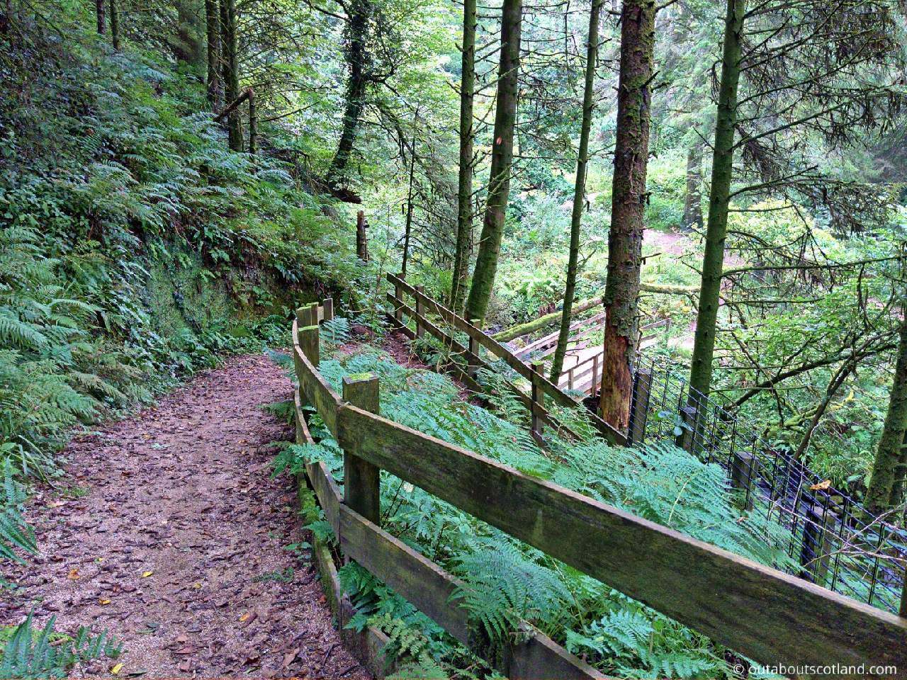
Although most of Arran’s green areas are located in the south, there are a couple of woodlands up in the north, like this one at North Sannox. To get there, follow the A841 from Brodick in the direction of Lochranza and take the signposted road that heads east a couple of miles past Sannox Bay. This road seemingly leads nowhere, but there’s a small car park at the end which leads to the shoreline.
A waymarked trail has been installed along the coast, so keep an eye open for the wooden posts with black markers that will guide you along the 3 miles of the Fallen Rocks Coastal Trail. It’s an exceptional walk, with the forest on one side and the coastline on the other and nice views all around. It’s an easy walk too, so it shouldn’t take you more than 2 hours to complete, although there’s nothing to stop you from continuing past the forest and all the way round to Lochranza if you fancy an epic mega-walk.
There’s a well-trodden path along the north-east point of Arran that opens up to the Newton Point coastal path once you start sweeping back around to the east, but be aware that it’s quite boulder-strewn in many places and is therefore unsuitable for a bike.
Glenashdale Forest
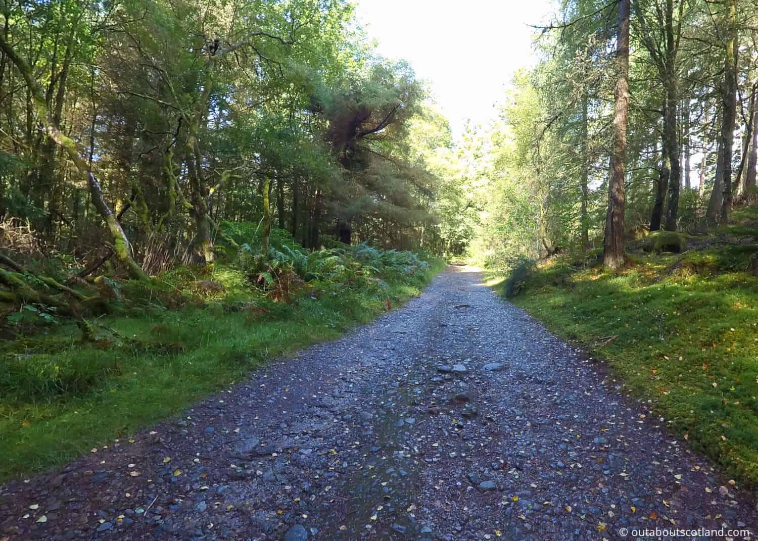
Glenashdale is part of the South End forest which covers a large part of the southeast of the island and it’s the place I suggest you head to if you intend to spend a couple of days on Arran but only have time to visit one forest.
I make that point because it’s large enough to get a real feel for Arran’s forests but isn’t so big you’ll get lost in it. It’s also easy to find as it’s within walking distance of Whiting Bay, which is a must-visit village.
Glenashdale Wood is one of the most popular areas in South End Forest, not so much for the woodland but more for the Glenashdale Falls trail that starts at a waterfall and circles around Whiting Bay via a historic Iron Age fort. The trails in this area are mostly well-trodden footpaths, but many sections open up onto logging roads which are very dusty in dry weather.
Bear in mind that although the Glenashdale Falls trail is an easy track to follow, the Giant’s Graves trail is quite steep and therefore hard work. There’s a long slope that seems to go on forever (although I suspect it’s only half a mile or so), but the sensational views once you get to the Giant’s Graves stones more than make up for the effort in getting there.
Things to Do
Wildlife Spotting: The Isle of Arran’s forests are home to ecosystems that are teeming with wildlife. From red deer to golden eagles, nature enthusiasts are in for a treat. Don’t forget your binoculars (link to binocular reviews) and camera, as you never know what creatures you’ll encounter.
Hiking: Arran is often dubbed ‘Scotland in Miniature’ due to the fact it has every type of terrain you can imagine, meaning it’s a paradise for hikers.
The many paths that run through Arran’s forests are a delight for all abilities as the majority of them are carefully managed. That being said, you should still wear walking boots (link to boot reviews) to protect your feet and ankles on the rougher tracks.
Forest Bathing: Immerse yourself in the tranquil beauty of Arran’s forests. The Japanese concept of ‘Shinrin-Yoku’ is all about absorbing the forest atmosphere, breathing in the fresh air, and appreciating the natural surroundings. Visiting a forest is known to have a calming effect on the mind and boosts general well-being.
Cycling: Arran’s forests offer some of the best cycling routes in Scotland, ranging from leisurely paths to challenging hillside trails. Mountain biking is a great way to explore the island’s forests and you might stumble upon a hidden gem or two along the way.
Picnicking: There’s nothing more magical than finding a hidden-away glade in the middle of a forest and sitting there with a picnic, and there are dozens of forests on Arran where you can enjoy an al-fresco lunch. A personal recommendation is Glenashdale Wood which is an easy walk from the beach in Whiting Bay.
Frequently Asked Questions
How do I get to Arran’s forests?
The following postcodes will take you to the most popular forests on Arran:
Brodick Castle: KA27 8DE
Dyemill: KA27 8AR
Glenrickard: KA27 8BJ
King’s Cave: KA27 8DX
North Sannox: KA27 8JD
Glenashdale: KA27 8QX
Aucheleffan: KA27 8PH
Directions map: Google Maps
What is the Isle of Arran known for?
The Isle of Arran is widely known as ‘Scotland in miniature’ due to its diverse landscape of wild coastlines, dramatic mountains, windswept moorland, picturesque lochs and verdant forests.
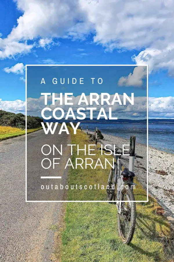
It is also home to a number of quaint villages and is very popular with cyclists thanks to the Arran Coastal Way. Popular tourist attractions are Brodick Castle, Lochranza Distillery, Goatfell, Machrie Moor, and Holy Island.
Does Arran have mountains?
Arran has a number of peaks on the northern half of the island, the highest of which is Goatfell (2868 feet/ 874 metres) which is designated as a Corbett.
Do you need a car for the Isle of Arran?
While it’s not absolutely necessary to have a car on the Isle of Arran, it opens up many more possibilities than walking or cycling, especially if you plan to explore more remote parts of the island.
There’s a bus service that circles the island, and you can also rent bikes, but having a car gives you more flexibility to explore at your own pace. Please remember to drive carefully, as Arran’s roads can be narrow and winding.
