Isle of Eriskay
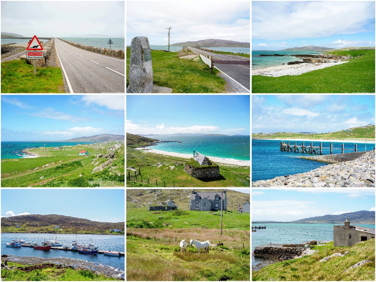
The Isle of Eriskay is situated to the immediate south of South Uist in the Outer Hebrides, where it is connected to its much larger neighbour by a 1-mile causeway. In addition to its spectacular coastline, Eriskay is best known for its indigenous Eriskay ponies, of which only 400 are left on earth.
The island is also known for two famous events in its history. The first is the location where Bonnie Prince Charlie first stepped onto Scottish soil with the intention of reclaiming the British throne in 1745. The second event was the shipwreck of the S.S. politician in 1941, when 22,000 cases of single malt whisky were recovered by islanders, a tale that was retold in the film ‘Whisky Galore’.
Isle of Eriskay
The hilly island of Eriskay is situated to the south of the island of South Uist in the Outer Hebrides of Scotland. This is a small island, but it’s one that’s so beautiful that it pretty much has to be included in a sightseeing tour of the island chain.
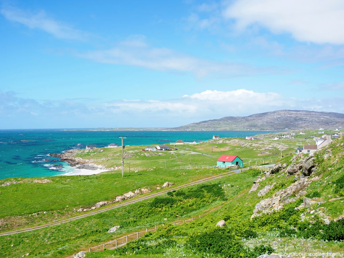
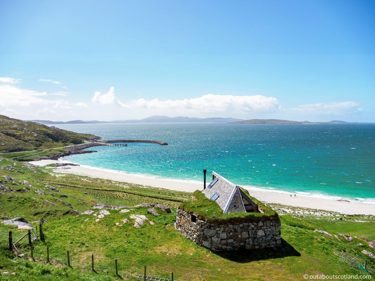
Eriskay is just 3 miles long and 1.5 miles wide, yet it has a population of around 200 permanent residents plus an equivalent number of tourists in the peak summer season. Like Barra to the south, Eriskay is famed for its turquoise waters—e result of pristine white sand and shallow bays— well as its coastline, which is wild, rugged, and full of marine wildlife.
Highlights of a visit to Eriskay depend on how you’re visiting the island. If it’s merely as part of a tour of the Hebridean Way then you’ll miss the majority of it, as the route from the ferry terminal near Prince’s Bay to the northern causeway is just 1.5 miles in length and bypasses the beaches and hills entirely.
However, those tourists staying either on the Uists or Eriskay itself can afford to explore deeper into the wilds of the island. The northwest is where the majority of the houses are located, and it’s also the location of the two beaches at Princes Bay and Balla, while the rest of the island is almost entirely uninhabited (except for the famous Eriskay ponies).
The eastern coastline is tricky to get to as there are no roads on that side of the island apart from a single track that leads to Acairseid Mhor Bay, which in turn means few tourists head out there. Heading inland, the terrain is a mix of boggy heath and bare rock with barely any designated walking trails, so hikers really need a map to make the most of a day out.
Those visitors who do make it to the eastern coastline will find rocky terrain that’s difficult to traverse, but it’s a place that’s superb for wildlife watching. Animal highlights have to be the otters, which are most prevalent on the northeast coast, but there are also white-tailed and golden eagles soaring over the hills and white-beaked dolphins and porpoises off the Sound of Barra to the south.
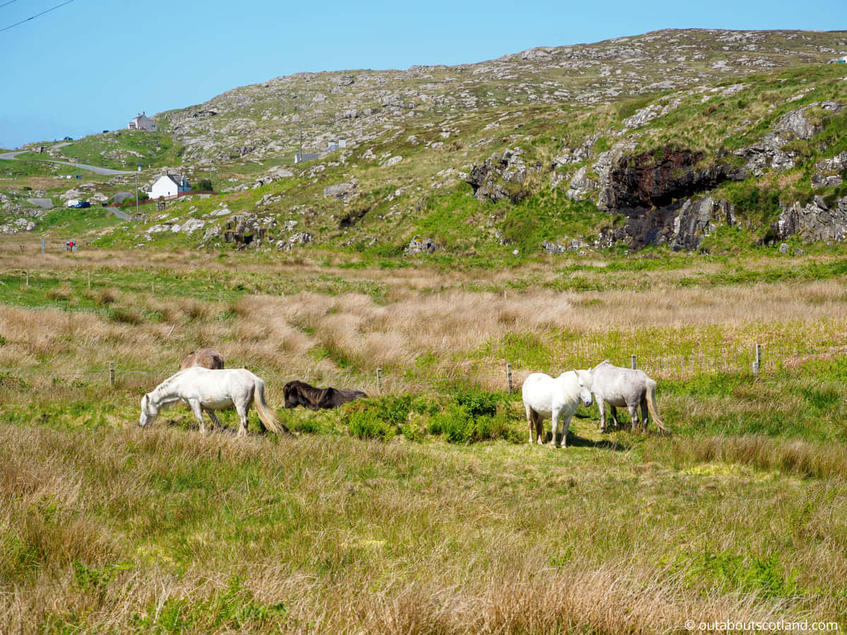
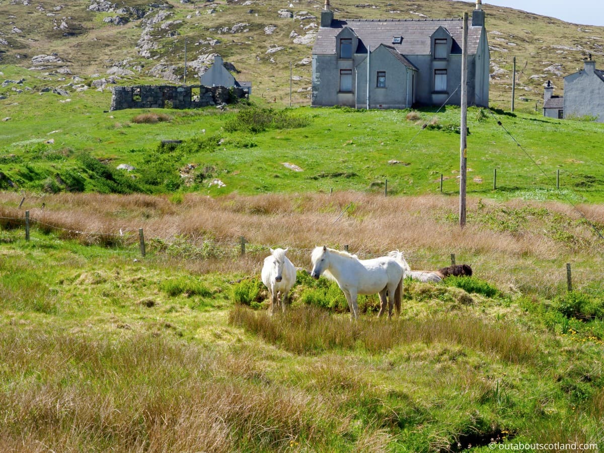
There are also frequent sightings of Orca and minke whales around Eriskay’s coastline, while the interior is home to some of the last remaining Eriskay ponies. This ancient horse breed almost dwindled to extinction in the 1970s0s when only 20 animals were left, but thankfully that number has now increased, and there are over 400 animals, all of which are protected and classifiedied as critically endangered.
After a long hike across the island, you may be looking for a pint and a warm meal, which is where the famous ‘The Politician’ pub in Balla comes into its own. This pub deserves a special mention as it features a superb outdoor seating area with stunning views across the sea and is also home to artefacts recovered from the cargo ship S.S. Politician, which ran aground in 1941.
The Highlights
1: Eriskay is a gorgeous wee island. From the turquoise waters of Princes Bay to the stunning views from Beinn Sciathan (the highest point on the island at 607 feet), Eriskay never fails to impress. Pack your lunch in a backpack (link to my recommended backpacks) and set off on the Rathad na h-Eaglaise road (the main road on Eriskay) for an off-the-grid adventure you won’t forget.
2: Thanks to the causeway it’s possible to drive or cycle to Eriskay from South Uist, making it a no-brainer for a day trip for anyone staying on either of the Uists. Cyclists tend to zoom across Eriskay as part of the Hebridean Way but the island’s white-sand beaches are worth taking the time to stop and explore on foot.
3: Although it’s a small island, there are a number of memorable walks on Eriskay, including Coilleag a’Phrionnsa Beach to Beinn Sciathan Hill and Acairseid Mhor Bay to Loch a’ Chapuill. The coastline has lots of marine wildlife to watch (otters and seals can be seen in abundance), while the interior of the island is rarely visited by tourists and is, therefore, a great place to unwind on a hike.
Visiting Tips
1: The furthest point you can drive on the Isle of Eriskay is Acairseid Mhor bay which is a deep inlet on the southeast of the island. The bay has a working harbour with plenty of space to park a car, and there’s a great spot to watch otters and seals on the southern side at the end of a promontory near Loch a’ Chapuill. Visit the Walk Highlands website for further details and a downloadable GPS route.
2: As is to be expected for such a small island, facilities on Erisaky are few and far between. That being said, I can confirm the island’s only pub – The Politician – serves good home-cooked food and has a decent selection of beers and (of course) whisky.
The community shop, meanwhile, has pretty much everything you need for a short break (toiletries, snacks, and basic foods). Be aware that there are no other shops on Eriskay but there’s a co-op in Daliburgh on South Uist 7 miles from the Eriskay causeway. Address: 292 Hillview, Daliburgh, Isle of South Uist, HS8 5SS.
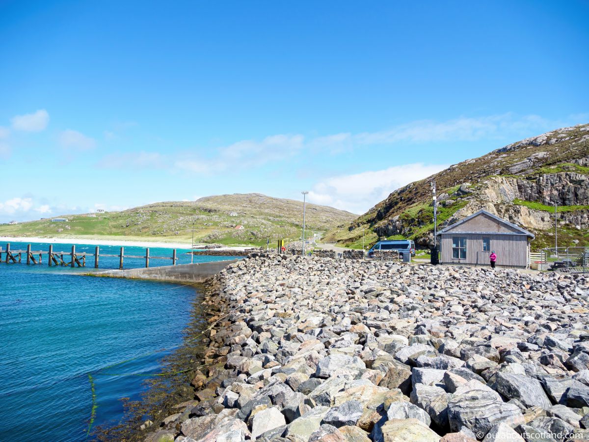
3: Visitors travelling to Barra from the Eriskay ferry terminal should consider leaving early so they can park at the terminal and spend a couple of hours on the nearby Princes Bay beach. A gravel path leads to the beach from the roadside, which allows easy access to the half-mile stretch of white sand.
Tourist Information
The Uists are connected by road all the way from Berneray to North Uist, Benbecula, South Uist, and down to Eriskay, with the total 60-mile route being drivable in around 90 minutes. That means it’s possible to visit Eriskay as a day tripper from anywhere on the island chain, which in turn opens up lots of places to choose accommodation.
For my last trip to the Outer Hebrides I chose Benbecula as a base, mainly because it’s slap-bang in the middle of the North and South Uists and therefore offers easy access between them.
From the Benbecula causeway it’s just a 45-minute drive to Eriskay on a scenic road that runs inland from the beaches of South Uist’s east coast across a landscape pockmarked with hundreds of lochs and lochans.
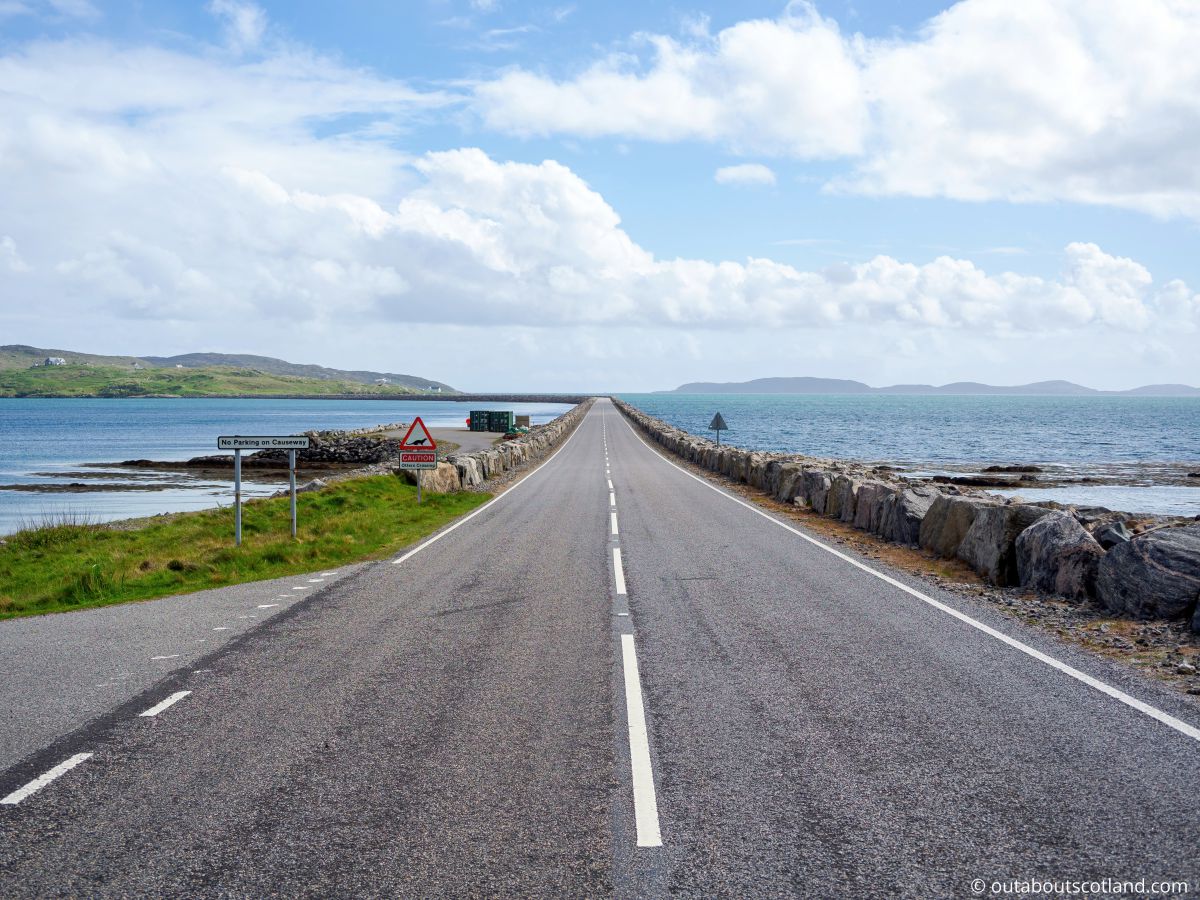
Eriskay’s causeway stretches away into the distance where it’s surrounded by small islets, sandbanks, and the landmass of Barra, and all-in-all, I reckon it’s one of the nicest scenes you’ll find in the Outer Hebrides—least on a sunny day when Eriskay’s famous turquoise waters are in full effect.
Note that there’s a layby on the South Uist side which is perfect for a photo or two before continuing onwards to the main event. Once on the island, there are countless options for where to head first, but my own preference is to explore the three most scenic areas:Prince’s Bay, Acairseid Bay, and Beinn Sciathan (also known as Ben Scian).
The following is a suggested itinerary for your visit to Eriskay.
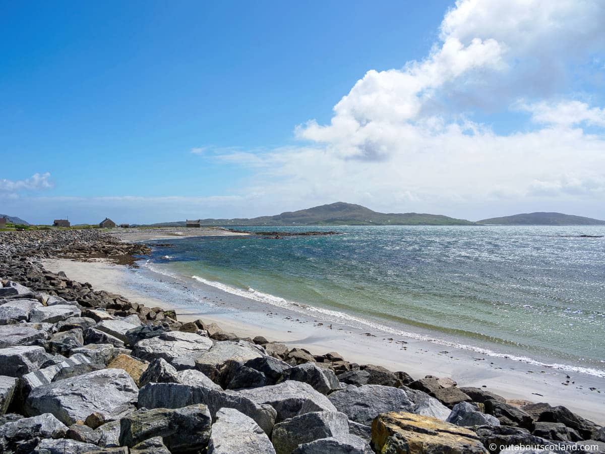
From the causeway road, follow the roadsigns pointing to the Sound of Barra ferry past the community shop. Eventually, you’ll arrive at the junction for the Wee Ferry Terminal, which has parking spaces a short walk from a gravel path that leads onto Prince’s Bay Beach.
This is a great spot for a family beach day as the bay is shallow and the sand is clean, although there are no facilities in the immediate area apart from toilets in the ferry terminal waiting room.
Beach over and done with, return to the junction before the ferry terminal and take the narrow single-track road to Acarsaid. Half a mile down this road is an off-road parking area and the harbour of Acarseid Mhor, with walking trails heading along the north and south sides of the bay.
The northern track is short but offers a good view of the coastline while the southern track is slightly longer and heads closer to the area where seals like to bask on rocks on the shoreline. It’s not difficult to find this route, but Walk Highlands has a good description of it as well as a GPX-format GPS file that can be loaded into Google Maps.
Top-tip: download the Walk Highlands GPX file, go to Google Maps, select ‘Your Places’ and then ‘Create Map’. If you import the GPX file, you can then save it and follow the route on your mobile phone.
Finally, (if you have time left in the day) you might like to climb the 600-foot Beinn Sciathan hill. This is quite an easy climb, even though the path is rough and indistinct, but the views from the summit are simply astounding, and it was the high point (no pun intended, was it?) of my visit to Eriskay.
The start of the climb is close to The Politician Public House (AKA the Am Politician), so there’s plenty of incentive to climb to the summit and reward yourself with a pint afterwards, especially if you can grab a seat on the lawn at the pub’s rear, which overlooks Balla Beach.
How to Get to Eriskay
There are a few ways to get to Eriskay:
- By ferry. The main way to get to the Isle of Eriskay is by ferry from the village of Ardmhor on Barra which takes about 20 minutes. Alternatively, you can sail into Lochboisdale on South Uist from Oban and drive across the Uist-Eriskay causeway. Ferries operate daily, with multiple sailings per day.
- By air. The Isle of Barra, which is the nearest island to Eriskay, has an airport with regular flights from Glasgow and other parts of Scotland. From Barra, you can take a taxi or a bus to the village of Ardmhor and then catch the ferry to Eriskay.
- By car. If you are driving from the mainland, you can take the ferry from Oban to the Isle of Barra and then drive to Ardmhor to catch the ferry to Eriskay.
Things to Do
Explore the Prince’s Beach: This iconic beach is where Bonnie Prince Charlie first set foot on Scottish soil before heading to the mainland to bring together the Highland clans for the 1745 Jacobite rebellion. Stroll along the sandy shore, enjoy a picnic, and soak up the atmosphere of the location.
Visit Am Politician: This cosy pub is named after the SS Politician, a ship that famously ran aground in 1941 with a hold full of whisky. It’s the perfect spot to enjoy a local ale (or whisky), learn about the island’s history, and fill up hungry bellies with a delicious plate of freshly caught scallops.
Hiking on Eriskay Hills: The rugged coastline and rolling hills of Eriskay provide a stunning backdrop for hiking and nature walks. The views from the top, especially at sunrise or sunset, are phenomenal. You might even spot some native wildlife, including the island’s beloved Eriskay ponies.
Visit St. Michael’s Church: This beautiful church, with its distinctive round north end, is a must-see on the island. The church was built in 1903 and is dedicated to St. Michael, one of the Western Isles’ patron saints.
Wildlife Spotting: Eriskay is home to a variety of wildlife, including seals, otters, and Eriskay ponies – a unique breed of hardy wild pony that is specific to the island. Spend a day exploring the island’s wilderness and watch these animals in their natural habitat.
Things to Do Nearby
Princes Bay. Address: Isle of South, Uist HS8 5JN. Distance: 1.6 miles from the causeway.
Princes Bay is a 1/2-mile stretch of white sand on the mid-west side of the island. The bay is famous for being the landing site of Charles Edward Stuart when he began his attempt to reclaim the British throne in 1745.
Acairseid Mhor Bay. Distance: 1.9 miles from the causeway.
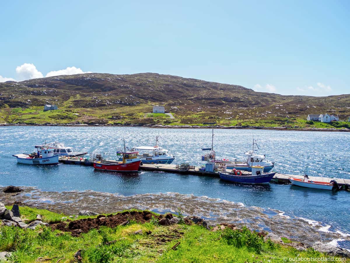
This large bay is used as a working fishing harbour but it’s also one of the best seal and otter-watching sites on Eriskay. There are short walking trails around the headland on both the north and south sides of the bay.
Beinn Sciathan. Distance: 3 miles from the Eriskay to Barra ferry terminal.
Beinn Sciathan is the highest point on Eriskay, though it is, in fact, a mere 600 feet in height. Climbing the hill presents hikers with stunning views across the island to South Uist and Barra.
The Politician. Address: 3, Balla, Isle of South, Uist HS8 5JL. Distance: 0.5 miles from the causeway.
This pub diner serves a selection of homemade dishes and alcoholic beverages. There is a conservatory to the rear as well as a grass seating area that looks across Eriskay Beach.
Frequently Asked Questions
Can you stay on Eriskay?
There are a number of holiday cottages and B&Bs on Eriskay, but there is currently no hotel. There are also holiday rentals across the causeway on South Uist.
Where is Eriskay island?
Eriskay is situated to the immediate south of South Uist in the Outer Hebrides of Scotland. The causeway linking South Uist to Eriskay is 1 mile in length.
Does Eriskay have a bridge?
Eriskay does not have a bridge, but it does have a 1-mile causeway on its northern tip which joins the island to South Uist.
In addition, there is a ferry terminal on the middle of the western side of the island which has regular sailings to the Isle of Barra.
What is the Isle of Eriskay famous for?
Eriskay is famous for its indigenous Eriskay ponies which are distinguished by their dense waterproof coat which is predominantly grey in colour.
The island is also famous for being the location where Bonnie Prince Charlie first set foot on Scottish soil during his campaign to retake the British throne in 1745.
Another famous event in Eriskay’s history was the shipwreck of the S.S. Politician in 1941 which saw 22,000 cases of whisky recovered by the islanders. The tale was retold in the British film ‘Whisky Galore’.
How big is Eriskay?
The Isle of Eriskay is an island located in the Outer Hebrides of Scotland. It is about 3.5 miles long and 1.5 miles wide, with an area of about 2,800 acres.
Is there a causeway between Barra and Eriskay?
There is no causeway between the islands of Barra and Eriskay. Instead, visitors can take a Calmac ferry which takes around 40 minutes.
